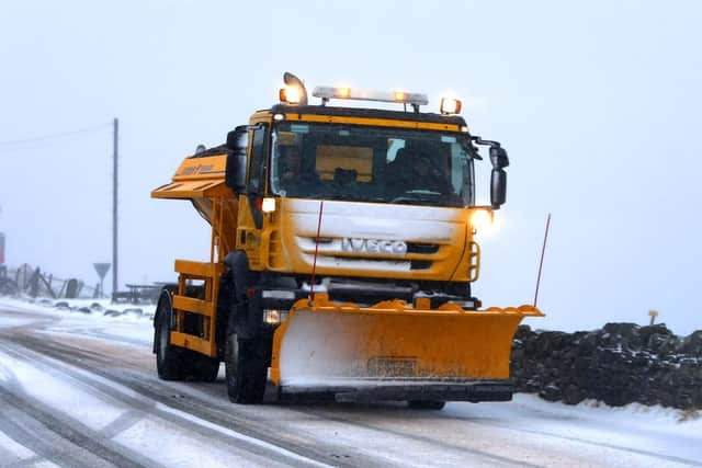
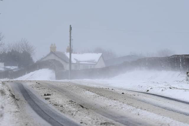
N.I. facing 'enhanced risk of snow' at end of month - cold snap to last well into February


In an update issued via their website on Thursday afternoon, the Met Office, said while there is still uncertainty, there is now an "increased likelihood of cold weather becoming established across all of the U.K.".
The Met Office went on to confirm that colder weather would also mean an "enhanced risk of snow" for Northern Ireland and the rest of the United Kingdom.
Why is there an increase in the likelihood of snow in N.I.?
Advertisement
Hide AdAdvertisement
Hide AdIt all stems from what experts call a Sudden Stratospheric Warming (S.S.W.).
What is a S.S.W.?
The term S.S.W. refers to what we observe - rapid warming (up to about 50°C in just a couple of days) in the stratosphere, between 10 km and 50 km up.
Jet streams high up in our atmosphere, in both the northern and southern hemisphere, circumnavigate the Earth from west to east.

One of these, the Polar Night Jet, circles the Arctic.
Sometimes the usual westerly flow can be disrupted by natural weather patterns or disturbances in the lower part of the atmosphere, such as a large area of high pressure in the northern hemisphere.
Advertisement
Hide AdAdvertisement
Hide AdThis causes the Polar Jet to wobble and these wobbles, or waves, break just like waves on the beach.
When they break they can be strong enough to weaken or even reverse the westerly winds and swing them to easterlies.
As this happens, air in the stratosphere starts to collapse in to the polar cap and compress.
As it compresses it warms, hence the stratospheric warming.
Stay up-to-date with the weather forecast in your area by visiting www.metoffice.gov.uk