Snow, ice and fallen debris could make your morning drive difficult - as Roads Service confirm salting of roads network underway
and live on Freeview channel 276
Forecasters this evening say it will remain "mainly dry with clear spells and the odd wintry shower" in NI.
They add that "winds will continue to ease down and there will be a frost with some icy patches" as it turns "cloudier later tonight with a few showers in west"
The minimum temperature will be -1 °C.
Advertisement
Hide AdAdvertisement
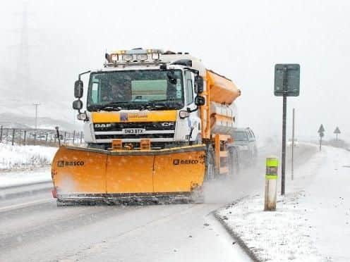
Hide AdIn a statement the Department for Infrastructure issued a warning to motorists: "Road surface temperatures are forecast to fall below freezing from early this evening and there is a risk of ice and frost on roads.
"Salting of roads on the scheduled network is planned this evening.
"Road users should exercise caution when travelling, not only due to the risk of ice and frost but also due to the possibility of debris remaining on roads from the winds last night.
Tomorrow, we will enjoy a "bright start in the east with some sunshine" but it will continue as "a rather cloudy day with scattered showers".

Advertisement
Hide AdAdvertisement
Hide AdForecasters warn that "showers will fall as snow over the hills" and it will be "cold with lighter winds".
Meanwhile the outlook for Tuesday to Thursday - according to the Met Office is: "A cold few days with a mixture of clear or sunny spells and occasional sleet or snow showers giving some accumulations."