Plan to '˜extend Belfast into countryside' dubbed bizarre by ex-Alliance chief


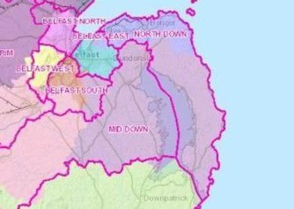
Last week a draft plan for new constituency boundaries for Northern Ireland was publicly released, apparently by accident, on the Boundary Commission’s website.
The map was later withdrawn from the website, but many have assumed that it reflects the latest thinking on how Northern Ireland political borders will shape up in years to come.
Advertisement
Hide AdAdvertisement
Hide AdThe plans are set to officially be unveiled for public consultation on January 30.
David Ford, MLA for South Antrim, said under the new plans the four Belfast constituencies “would extend well beyond the city and far into the countryside”.
He said: “Most bizarrely, the plans for North Belfast would not just take in all of urban Newtownabbey, but would extend almost to Templepatrick and Doagh. That is ridiculous.”
Under a previous draft of the new constituencies, Belfast had been cut from four to three constituencies.
Advertisement
Hide AdAdvertisement
Hide AdThis appears to have been reversed under the new accidentally released draft blueprints.
Mr Ford said: “The knock-on effects of the plan to give Belfast one more constituency than it deserves also mean most of Antrim town and the area south of it would be grouped with Lisburn.
“But Carnbeg estate and parts of the Ballymena Road would be in a constituency extending to within 10 miles of the north coast.
“This is not an issue of political bias but maintaining social links and not disrupting established patterns.”