WEATHER: Biting winds and snow showers to batter Northern Ireland
and live on Freeview channel 276
Simon Partridge from the Met Office said: "This evening is going to be windier than we have seen and there is the potential over the hills for to become more wintry with sleet and very wet snow.
"Tonight you will see a few more showers starting to push their way in from the east.
Advertisement
Hide AdAdvertisement
Hide Ad"We had snow across the Pennines today, a reasonable spell of wet snow, but as in Northern Ireland it is not going to last too long as the ground is still quite warn."
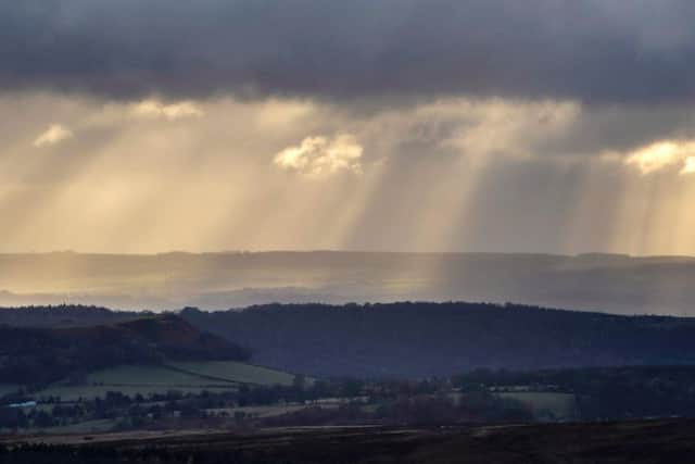

Mr Partridge added there will be winds tonight in Northern Ireland of around 30mph "and tomorrow there will be a continuation of showers pushing in from a south-easterly direction".
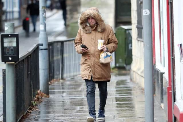
He said that temperatures could fall to freezing or below.
Mr Partridge added that Wednesday will see "showers most of the morning but easing off in the afternoon".
He added: "Winds also start to ease off through the afternoon. Everything starts to improve towards the tail end of the day.
Advertisement
Hide AdAdvertisement
Hide Ad"Overnight (Wednesday into Thursday) it will be much drier with clear spells and lighter winds."
He added that "the odd icy patch is not beyond the realms of possibility" in sheltered parts of Northern Ireland.
"It should be 2-4 degrees overnight on Wednesday into Thursday, but in sheltered spots the temperature could drop to freezing or below."
He added that on Thursday "temperatures are back up to 8-9 degrees which is average for this time of year".