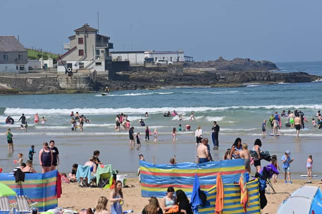
Heatwave Northern Ireland? Met Office sets record straight for NI after media reports of pending UK hot spell
and live on Freeview channel 276
However, contrary to some media reports, the forecaster said that the chance of "any prolonged or excessive heat" in the UK looks “unlikely”.
And sadly for Northern Ireland, the Met Office said that any warmer weather that does come is likely to remain in southern areas of the UK, and therefore miss the province.
Advertisement
Hide AdAdvertisement
Hide AdSeveral UK media outlets have cited the British Weather Service (BWS) forecaster as saying that a high pressure area was on course to arrive in the UK next week, which could see temperatures of 32C in southeast England by 12 August.


“There should be a south to north progress with 32C in southeast England by August 12, in my opinion, though, it's still a forecast for now,” a BWS forecaster was quoted as saying.
While he did not use the term “heatwave”, several media outlets used that term in a headline based on his prediction.
(According to the Met Office, a heatwave is when a location records at least three consecutive days with daily maximum temperatures meeting or exceeding 25-28C, depending on the area of the UK.)
Advertisement
Hide AdAdvertisement
Hide AdHowever the Met Office did not see any such high temperatures on the horizon for the UK.
"Looking ahead to the rest of August, there are some early signals for at least a brief spell of something a little warmer and more settled to develop towards the end of next week, though this is most likely for southern areas of the UK," the forecaster told the News Letter.
"However, it remains that the greatest chance of seeing anything more widely settled would be through the second part of August, although this may be accompanied by an increasing risk of thundery showers. With unsettled conditions never too far away, it looks unlikely that we will see any prolonged or excessive heat, with the chance of heatwaves here in the UK being lower than some recent Augusts."
For the rest of this current week, the Met Office predicted only moderate temperatures for NI, ranging from 12-19°C.
Advertisement
Hide AdAdvertisement
Hide AdAsked to give a specific forecast for NI for next week the Met Office was unable to. It responded that from next week the outlook becomes more general “with no signs of anything particularly settled or warm” and that for next week onwards it can only give general trends for the entire UK.
For NI, the forecaster predicted patchy rain on Tuesday 1 August, becoming mainly dry in the afternoon with a maximum night temperature of 19°C. There will be persistent or patches of rain on Wednesday and a minimum temperature of 12°C. Thursday to Saturday in Northern Ireland will be rather cloudy and mainly dry with a few showers on Thursday and Friday. There will be heavy rain at first on Saturday, turning dry and bright later.
Meanwhile, new Met Office figures show last month was the wettest ever July in Northern Ireland and the UK’s sixth wettest July on record, the Press Association reported.
A succession of low pressure systems brought long periods of damp and windy weather to much of the country, making it feel at times more like autumn than summer – a sharp contrast to July 2022, which saw heatwaves and temperatures as high as 40C.
Advertisement
Hide AdAdvertisement
Hide AdThe UK had an average of 140.1mm rain last month, the sixth highest total for July since records began in 1836, according to provisional data.
Northern Ireland had an average of 185.4mm of rain last month, just above the previous record of 185.2mm set in July 1936.
Mike Kendon of the Met Office said: “It has been a significantly wet month for much of the UK, particularly for those in Northern Ireland.
“The jet stream has been shifted to the south of the UK for much of the month, simultaneously allowing extreme heat to build in southern Europe for a time, but also allowing a succession of low pressure systems to influence the UK, with long periods of winds and rain that many more typically associate with autumn weather.”
Advertisement
Hide AdAdvertisement
Hide AdBack-to-back heatwaves brought sweltering temperatures in the 40s to parts of Europe in July, which is expected to break records for the world's hottest month ever recorded.