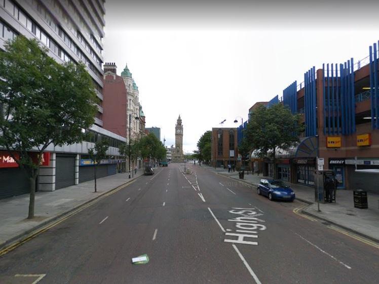
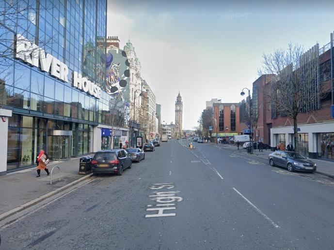
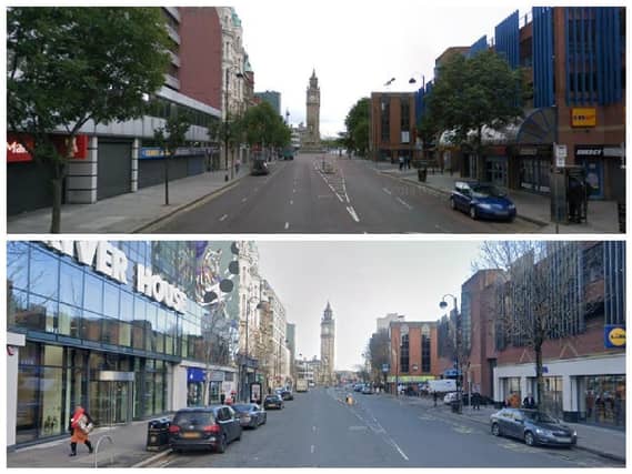
The Google maps images which show just how much Northern Ireland has changed in 12 years, including Belfast, Londonderry, Portadown, Larne and moreplaceholder image
The Google maps images which show just how much Northern Ireland has changed in 12 years, including Belfast, Londonderry, Portadown, Larne and more

The Google maps images which show just how much Northern Ireland has changed in 12 years, including Belfast, Londonderry, Portadown, Larne and more

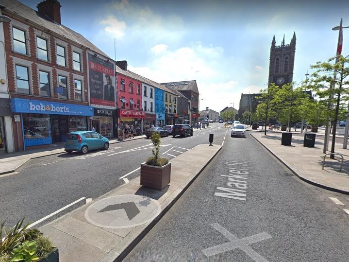
Northern Ireland has been transformed over the past 12 years - as these Google maps images show.

From Ballymena to Belfast, Londonderry to Lurgan and Carrickfergus to Coleraine these pictures tell the story of just how much Northern Ireland has changed in the last 10 to 12 years.
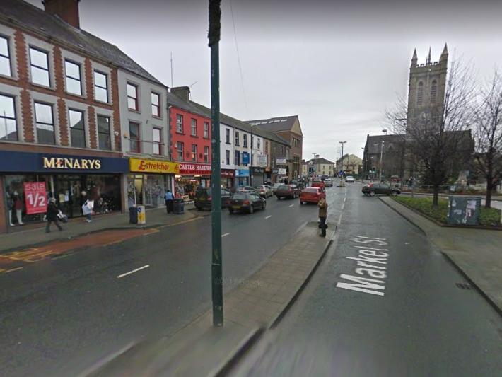
News you can trust since 1737
Follow us
© 2026 Iconic Media Group Ltd. All rights reserved.Cookie SettingsTerms and ConditionsPrivacy notice