What to do in Northern Ireland this weekend - The Mournes Mountains: a guide to mountain height, walking distance and parking
and live on Freeview channel 276
From the highest peak of Slieve Donard (853m) to the smallest peak of Ben Crom (526m), there is a trail suitable for everyone to embark on this bank holiday weekend.
Keen hikers can head to the summits of the big six, cyclists can enjoy some mountain biking, or take it easier with some of the smaller mountains (which still offer great views).
Advertisement
Hide AdAdvertisement
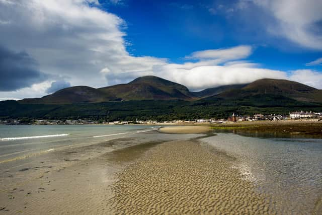
Hide AdSlieve Donard
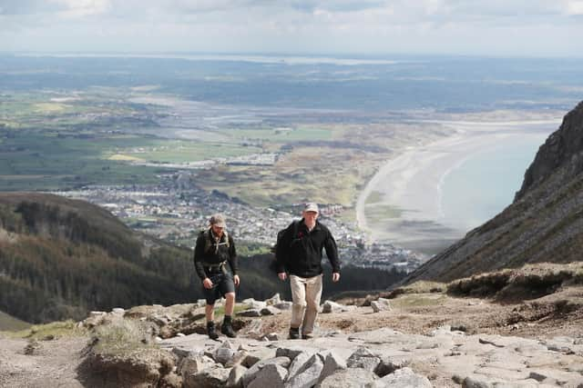

Donard is the tallest of the 12 mountains in the Mournes Mountain range - with a height of 853m.
The most popular route is The Glen River route, which is just short of six miles.
To start the route, park in the free Donard car park and then follow the path at the back of the park, which leads through the trees.
Once you have reached the top of Slieve Donard and took your celebratory pictures of the views, it is the same route back down to the car park.
Advertisement
Hide AdAdvertisement
Hide Ad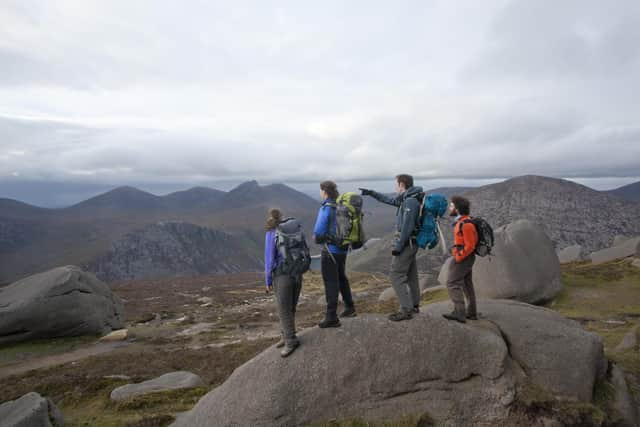
Parking address: Donard car park, 5 Donard Park, Newcastle, BT33 0HL
Slieve Binnian
Binnian is the third tallest in the Mournes, at 747m high, which offers a seven mile circular route.
From the Carrick Little car park, cross a wooden stile over the stones of the Mourne Wall (beside an iron gate) and turn left.
You follow the wall almost all the way to the summit.
Once you have completed the walk uphill and enjoyed the spectacular views from the top, you can descend along a track past the Blue Lough.
Advertisement
Hide AdAdvertisement
Hide AdParking address: Carrick Little car park, 74 Oldtown Rd, Annalong, BT34 4RW
Slieve Meelmore
Meelmore is 682 metres high and boasts a 5.4 mile circular route.
The Trassey Track begins at Meelmore Lodge car park.
The walk becomes quite steep from Hares Gap to the summit.
Parking costs £4 for a day, which can be paid at reception. The car park is CCTV monitored.
Parking address: Meelmore Lodge, 52 Trassey Rd, Bryansford, BT33 0QB
Advertisement
Hide AdAdvertisement
Hide AdSlieve Gullion
Slieve Gullion, in the heart of the Ring of Gullion, is 573m high.
The 8.5 mile route circles around country roads before ascending the mountain.
Starting in the Slieve Gullion Forest Park, make your way out the exit road and turn right at its junction with Wood Road.
Continue downhill on Wood Road for about 500m before turning left onto Ballintemple Road.
Advertisement
Hide AdAdvertisement
Hide AdAfter a nice walk down forest paths and country roads, you will find a gate on the left opposite a whitewashed bungalow.
The gate opens onto the main path which leads to the summit of Slieve Gullion.
Parking address: Slieve Gullion Forest Park car park, 89 Drumintee Road, Meigh, BT35 8SW
Pigeon Rock Mountain
Pigeon Rock is 534m high and starts at Sandbank car park.
On the six mile circular route, you will also discover Hen and Cock mountains.
Advertisement
Hide AdAdvertisement
Hide AdCross the road from the car park, to get to the Hen track which you will follow from the stonewall to the summit.
Begin to descend down the south east of the mountain, before starting the steeper ascent up Cock Mountain.
Ascend Cock Mountain from where there are impressive views of Spelga Dam Reservoir to the east.
Descend Cock Mountain to the south east direction before ascending Pigeon Rock Mountain to meet Batts Wall at its summit.
Walkers will enjoy walking on open mountain terrain before descending through a valley back to the starting point.
Parking address: 33 Sandbank Rd, Hilltown, Newry BT34 5XU