
Parts of Northern Ireland wakened to a winter wonderland with a motorist warning for icy roads - is there more to come?
Road users are advised to exercise caution with some roads untreated throughout Northern Ireland.
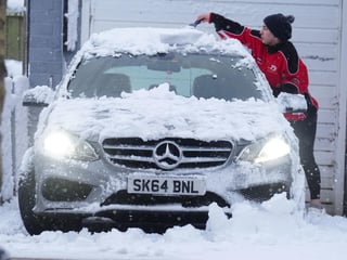
The warning comes as the Met Office say today (Nov 20) we should expect ‘scattered showers, mainly falling as rain or sleet to lower levels, will become increasingly isolated through the day with increasing sunny spells’.
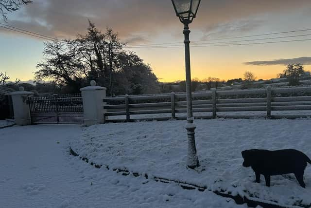

They add that it will be a ‘largely dry by evenin’ with winds easing and a maximum temperature 5 °C.
Tonight ‘the odd isolated shower possible at first, otherwise a dry night mostly clear skies’.
‘This leads to a cold night with a widespread frost and icy patche,’ they add. And a minimum temperature -5 °C.
Tomorrow (Friday) will have be ‘a dry, cold and mostly clear start remaining dry through the morning but cloud building from the west’.
Then there will be ‘a mostly cloudy afternoon with rain spreading eastwards through the evening’ and a maximum temperature 6 °C.
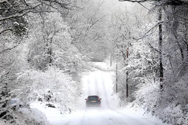
Then it will be ‘mostly dry at first Saturday before cloud and rain spreading east in the afternoon’.
It will be ‘mostly cloudy Sunday and Monday with showers or longer spells of rainm and ‘turning less cold’, the Met Office say.
Looking further ahead – Monday 24 Nov - Wednesday 3 Dec – ‘Unsettled at first with low pressure, to the east, only very slow clearin
‘This bringing cloud and outbreaks of rain to many areas, accompanied by strong winds and coastal gales.
‘These more unsettled conditions will probably become increasingly confined to the east, whilst showers in the far north are increasingly likely to turn to sleet and snow
‘A more settled interlude is possible mid-next week, which may be brief or could last a few days, before a trend towards more changeable conditions associated with Atlantic weather systems.
‘Towards the end of the period, an increasing chance of more settled spells.
‘Temperatures overall likely to be a little below average, with further overnight frosts in settled spells.’
And looking towards Christmas, the Met Office says: ‘There is an increased chance of settled spells developing during early December, bringing more in the way of dry weather, light winds, and increased risk of overnight fog and frosts
‘This is associated with more frequent high pressure which will probably never be too far away to the north.
‘Whilst spells of wind/rain still remain possible, they are likely to be less frequent than usual at first, but a steady increase in periods of unsettled weather across southern areas in particular seems likely as the period progresses.
‘Overall, above average temperatures are slightly more likely, but colder spells, especially at first and in the north, could still occur.
‘One or more spells of snow cannot be ruled out, should weather systems arriving from the south, push north into colder air.’