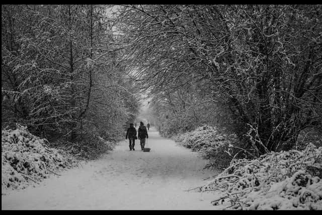
Met Office issue TWO DAY Yellow weather warning for ice starting at teatime - 'wintry showers' on way
and live on Freeview channel 276
According to the meteorologists ‘some disruption is likely due to icy surfaces’.
The weather experts say that we should expect:
*some injuries from slips and falls on icy surfaces
*probably some icy patches on some untreated roads, pavements and cycle paths
Advertisement
Hide AdAdvertisement
Hide Ad*some roads and railways may be affected with longer journey times by road, bus and train services
The forecasters add that the reason for the Weather warning update is ‘to reduce southern coverage of warning across Northern Ireland and Wales, and add an area across parts of Southwest England’.
The forecasters say that today in Northern Ireland will be ‘mostly dry and bright with sunny spells, but there will be a scattering of showers, most of these across the north and towards the east coast and wintry on the hills’.

They add that it is ‘feeling rather cold in the northerly breeze, Maximum temperature 6 °C’.
Advertisement
Hide AdAdvertisement
Hide AdTonight will see ‘clear spells and a few showers in evening then cloudier with showers, wintry on hills and increasingly to low levels, with perhaps some lying snow’ with a minimum temperature -1 °C.
And tomorrow will see ‘wintry showers soon clearing then drier and brighter with some sunshine in afternoon but some wintry showers towards the north coast and later down the east coast’.
They add there will be a maximum temperature of 3 °C.
The outlook for Friday to Sunday is ‘staying cold with bright spells and scattered wintry showers, but perhaps a spell of sleet or snow in east Saturday with fresher northeast winds, though snow level rising a little’.