July washout: Northern Ireland has already surpassed its average rainfall for month
and live on Freeview channel 276
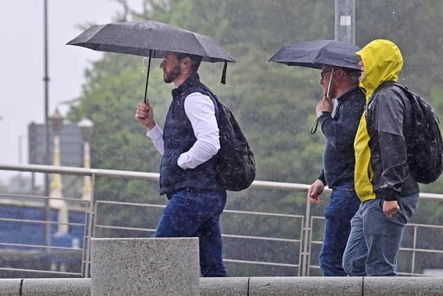
And although it remains relatively warm – rainfall has been much higher than average.
The Met Office said that data up to July 17 showed that Northern Ireland has had 110% of its July average rainfall – 98.6mm.
Advertisement
Hide AdAdvertisement
Hide AdStephen Dixon from the Met Office said: “You’d expect about 55% of the month’s total average rainfall at this point in the month but there is still a very long way to go before it’s record breaking.

"185.2mm in July 1936 is the wettest July on record for Northern Ireland (from data going back to 1836).”
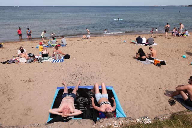
It’s a far cry from the heatwaves in July of last year and in 2021 when the temperature record for Northern Ireland was broken twice in the space of four days – first in Ballywatticock with a reading of 31.2C then on July 21 in Castlederg when the mercury reached 31.3C.
The main reason the UK has avoided a repeat of the extreme temperatures of July 2022 – as well as the ferocious heat currently affecting southern Europe – is the position of the jet stream, the fast-flowing current of air that blows from west to east above the Earth’s surface.
Advertisement
Hide AdAdvertisement
Hide AdFor much of July last year, the jet stream was stuck to the north of the UK, keeping away low pressure systems while trapping high pressure areas above the country, causing very high temperatures and long periods of dry conditions.
This was also the situation last month, which led to it being the warmest June on record.
But since the end of June the jet stream has shifted southwards and is currently sitting directly over the UK, resulting in unsettled conditions including showers.
The jet stream is forecast to remain in this position for the next few days, bringing more low pressure areas to the UK, according to the Met Office.
Advertisement
Hide AdAdvertisement
Hide AdDespite this July being a damp one the Met Office has warned that temperatures of 40C could be appearing as frequently as every three years by 2100 if greenhouse gas emissions are not curtailed.
Oli Claydon of the Met Office said: “The likelihood of exceeding 40C somewhere in the UK in a given year is increasing due to human-induced climate change.
“The chance of reaching the 40C threshold in the UK is now around 1% chance per year in the present climate.
“This could increase to around 6.7% chance per year by 2100 under a medium-emissions scenario and 28.6% chance per year by 2100 under the high-emissions scenario.”
Advertisement
Hide AdAdvertisement
Hide AdMeanwhile Ireland has become wetter and warmer in the three decades since 1991, according to analysis by the Republic’s national forecaster.
Met Eireann’s analysis of the 1991-2020 climate averages shows the average air temperature during that period compared to the previous 30 years was 0.7C higher.
The highest rise in average temperatures was during May, which saw a rise of approximately 1C, followed by around 0.9C in February, April and November.
Sunshine hours have also increased by around 5% when compared to the 1961-1990 period, with May the sunniest month of the year.
The analysis also shows rainfall has increased by around 7% over the last 30 years.