
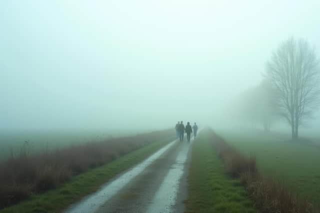
Northern Ireland weather: Temperatures to again dip to -4 °C on Tuesday night with a widespread sharp frost and patches of freezing fog
Met Office forecasters say the rest of this week “will be much more settled” with “little in the way of rainfall” until the Saturday or Sunday “and no snow in the forecast”.

They add that “winds will be light and there will be some decent spells of sunshine”.
Today will, according to the Met Office “stay dry and sunny for most” and “fog will be slow to disperse with a few patches lingering all day”.
The forecasters add: “It will be a chilly day with light winds. Maximum temperature 6 °C”.
Meanwhile tonight it will be “cold with a widespread sharp frost and some patches of freezing fog forming, becoming more widespread by morning”.
The Met Office forecast a minimum temperature of -4 °C.
Meanwhile tomorrow (Wednesday) it will be “dry with sunny periods” and “freezing fog slowly dispersing with a few patches lingering all day”.

There will be a maximum temperature of 5 °C.
And the outlook for Thursday to Saturday is “mainly dry with some sunshine, mist and fog patches on Thursday and Friday’ and ‘freshening westerly winds on Saturday”.
Meanwhile the Met Office also say from Saturday 14 Dec - Monday 23 Dec say that ‘high pressure will likely weaken into the weekend, allowing occasional bands of rain to make progress southeastwards across parts of the UK’.
It adds that ‘while there may be an attempt for high pressure to rebuild at times, especially in the south, the more likely scenario is for an unsettled regime to dominate for much of next week, with occasional spells of rain followed by blustery showers, these most frequent and perhaps wintry at times in the northwest.
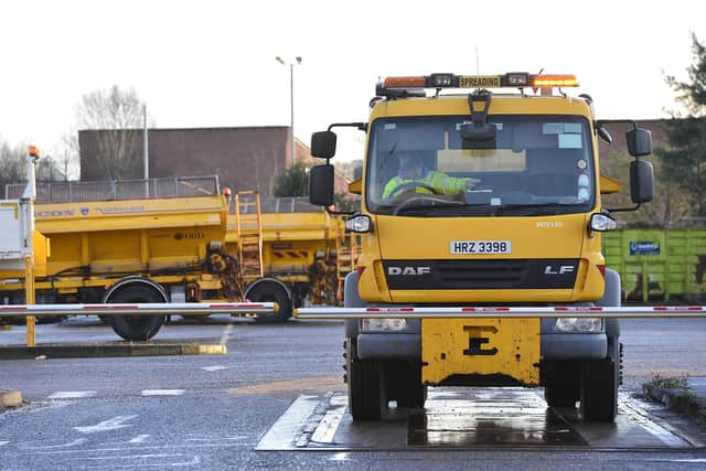
‘It may be quite windy at times too, especially towards the north, while southern areas have a greater chance of some lengthier drier and perhaps more settled spells, although even here it may still be rather breezy.
‘Temperatures will vary around average, with oscillations between colder and milder interludes,’ it adds.
And a long-range forecast for Tuesday 24 Dec - Tuesday 7 Jan says ‘mainly unsettled conditions appear likely for most, with spells of wind and rain followed by showers affecting most areas but especially the north and northwest of the UK’
It adds that ‘some sleet and snow is also likely at times, especially on high ground in the north’ however ‘there are also some signs that more settled conditions are possible at times’.
Temperatures are likely to be around average overall, with any more settled interludes bringing a risk of frost and fog.