Thunderstorm warning across NI today
and live on Freeview channel 276
Thunderstorms are likely to affect northern and western parts of the UK during Friday, the Met Office said in a Yellow Weather warning.
The forecaster said there is a small chance that homes and businesses could be flooded quickly, with damage to some buildings from floodwater, lightning strikes, hail or strong winds.
Advertisement
Hide AdAdvertisement
Hide AdThere is also a small chance of fast flowing or deep floodwater causing danger to life.

Where flooding or lightning strikes occur, there is a chance of delays and some cancellations to train and bus services.
Spray and sudden flooding could also lead to difficult driving conditions and some road closures.
The Met Office said there is a slight chance that power cuts could occur and other services to some homes and businesses could be lost.
Advertisement
Hide AdAdvertisement
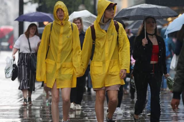
Hide AdTravellers across the UK face disruption during Friday’s morning rush hour after torrential rain and thunderstorms lashed parts of the country - with forecasters warning that more severe weather is on the way.
An amber weather warning - meaning a potential risk to life - remains in place for the south-west of England and south Wales until 6am, and forecasters have warned of difficult driving conditions and flooding.
A yellow warning covers the south of England until 9am, while another is in force for Scotland, Northern Ireland and the west of England between 9am and 10pm.
Met Office meteorologist John West said a “lively” day was in store on Friday, despite a bright start for some.
Advertisement
Hide AdAdvertisement
Hide AdHe said: “It will be a warm and humid day, with some decent spells of sunshine. But with the temperatures rising and an awful lot of moisture in the air, we’ll see more heavy showers and thunderstorms returning by early afternoon.
“This will affect Northern Ireland, Scotland and western parts of England and Wales.
“With some torrential downpours, it is likely that we will see some localised flooding.”
Forecasters predict up to 1.8 inches of rain could fall in the space of an hour in some parts, rising to 3.6 inches over three hours.
Advertisement
Hide AdAdvertisement
Hide AdIt comes after storms and heavy downpours caused problems in some parts on Thursday afternoon and overnight, with disruption expected to continue into the morning.
Train passengers in the Midlands could find their journeys affected after lightning strikes damaged equipment between Birmingham New Street and Wolverhampton.
Network Rail said disruption was expected until about 9am.
South-west parts of England were worst-affected overnight, with Gloucestershire County Council reporting multiple calls to the fire service over flash flooding.
On Thursday evening, Didcot Parkway railway station in Oxfordshire flooded, leaving passengers to wade through deep waters or be helped by firefighters.
Advertisement
Hide AdAdvertisement
Hide AdTravellers posted to social media to report raw sewage flowing from drains, while one commuter said she had been given a piggy back through a flooded underpass.
Flights were also cancelled due to the severe weather conditions, with 48 easyJet services affected at Gatwick Airport.
Ryanair cancelled a “small number” of flights, while others were delayed.
The Environment Agency has urged people to check their flood risk and warned people not to drive through flood water.
Advertisement
Hide AdAdvertisement
Hide AdKate Marks, Environment Agency flood duty manager, said teams would work “24/7” to operate flood defences, clear blockages in rivers and streams and support partners at any incidents of surface water flooding.
“With heavy rain forecast during rush hour, drivers should stay up to date with the latest weather forecast and travel information before making their journey,” she said.
“We remind people not to drive through flood water as just 30cm can move your car.”