
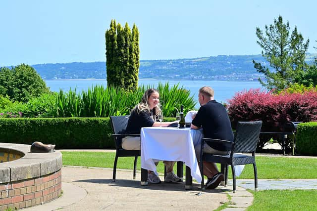
Make your plans now with dazzling weekend weather in store for Northern Ireland as mercury hit 24 °C yesterday in Killowen
This weekend is going to be one to plan for in Northern Ireland feeling warm throughout, according to the Met Office.
Meteorologist Claire Nasir said that today after it feeling ‘muggy overnight’ today thwew will be ‘a lighter breeze relative to yesterday and we will see some showers drift slowly across the sky’.
She said we could see ‘showery bursts in Tyrone and Fermanagh this afternoon’ and temperatures ‘could hit 20C and 21C’ – whilst parts of England will see the mercury hit ‘25C to 28C helped along with some bouts of sunshine’.
She added there will be ‘a pleasant evening in Northern Ireland until bursts if rain arrive in the late evening’.
The Met Office Meteorologist added that Thursday will have a ‘muggy start again’ but that ‘brighter skies come in around 9am across Northern Ireland’.
She added that temperatures will be around 19/20 °C in Northern Ireland with some showers on Thursday evening going into Friday.
And Ms Nasir added that temperatures will ‘go up a notch on Friday to at least 22°C’ and will be a ‘relatively humid, blustery and warm’.
She added that Saturday will be around 21°C.
The great news comes after the Met Office daily weather extremes reported that yesterday the top temperature in Northern Ireland
was 24.0 °C in Killowen.
And again the sunniest area in Northern Ireland was Katesbridge with 2.7 hours of continuous sunshine.
And there is no change in misery for hay fever sufferers with the pollen count remaining High over coming days.


The Met Office Northern Ireland site today reports that ‘all parts will have a dry day’ and it will be ‘quite warm’ with a maximum temperature 20 °C’.
They say tonight, ‘after a dry start this evening rain will soon spread east’ leaving ‘the rest of night cloudy with rain, occasionally heavy’.
There will be a minimum temperature 13 °C.
Tomorrow (Thursday) we will see ‘overnight rain across the east soon clearing away to leave a mainly dry day with some sunny spells’.
It adds that there will be a maximum temperature 18 °C.
And they add that the outlook for the weekend is ‘cloudy on Friday with rain at times, drier over the weekend but rain possible for a time on Saturday night’.
Looking further ahead the forecast for Sunday 29 Jun - Tuesday 8 Jul is: ‘A low pressure system passes to the northwest of the UK early in the period bringing wetter windier conditions to the northwest.
‘Drier in the southeast at first before the wetter conditions move through the early part of the week.
‘From there further low pressure systems are likely to the northwest of the UK at times, bringing wet and windy conditions to the northwest.
‘Whilst some rain or showers are possible across the south and east, longer drier spells are more likely, under the influence of higher pressure.
‘There is also the chance of some occasional very warm, perhaps locally hot weather, as brief bursts of hotter air encroach from the continent, but probably fairly short-lived and perhaps also accompanied by a few thunderstorms at times’.
Looking even further ahead from Wednesday 9 Jul - Wednesday 23 Jul the Met Office says: ‘Conditions will likely continue to be changeable through much of July.
‘The wettest and windiest conditions most likely towards the northwest with a risk of some heavy rain at times, especially over hills.
‘Southern and eastern areas are most favoured for longer drier and more settled spells, although even here some occasional rain or showers will be possible, perhaps thundery.
‘There are signs of more widely settled weather during the second half of July, however this signal is very tentative.
‘Temperatures are expected to be above average for most areas, especially towards the southeast where there will be an ongoing chance of some very warm or hot conditions at times’.