
Mercury peaked at 27.8 °C in Armagh yesterday as Northern Ireland leads itself into third heatwave this year
Temperatures peaked at 27.8 °C in Armagh yesterday as the country moved towards experiencing its third heatwave this year.
According to the Met Office, temperatures must reach 25C or above for at least three consecutive days for a heatwave to be declared.
And today the Met Office Northern Ireland say it will be ‘a mainly dry, bright and very warm day with good sunny spells’.
‘Isolated showers possible by the end of the afternoon and low cloud and mist may affect Irish Sea coasts at times,’ they add.
‘Maximum temperature 26 °C’.
And tonight we will see ‘any isolated showers dying out with mainly dry conditions and clear spells’.
There will be ‘low cloud and mist around the coast becoming more extensive inland later in the night’ and a ‘minimum temperature 15 °C’.
.


And tomorrow (Thursday) we should see ‘any low cloud lifting and clearing to leave a bright day with occasional sunny spells’.
There will be ‘a scattering of showers developing in the afternoon’ with ‘light winds’ and a ‘maximum temperature 23 °C’.
And the outlook for Friday to Sunday is ‘a rather cloudy start on Friday with patchy mist, but sunny spells developing’.
It will be ‘mainly dry and bright over the weekend and very warm in any sunshine’ although ‘showers possible on Sunday’.
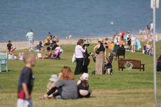
In the Republic of Ireland, Irish weather service Met Éireann, external is expecting temperatures close to 30C in parts of the midlands, while heat health alerts have been issued in parts of Great Britain.
Temperatures are expected to dip by a few degrees on both Thursday and Friday before increasing again, quite widely, into the mid-twenties at the weekend.
Looking further ahead – Sunday 17 Aug - Tuesday 26 Aug – ‘High pressure will be dominant across much of the UK at the start of this period.
‘This will bring a good deal of fine and dry weather with spells of sunshine for many.
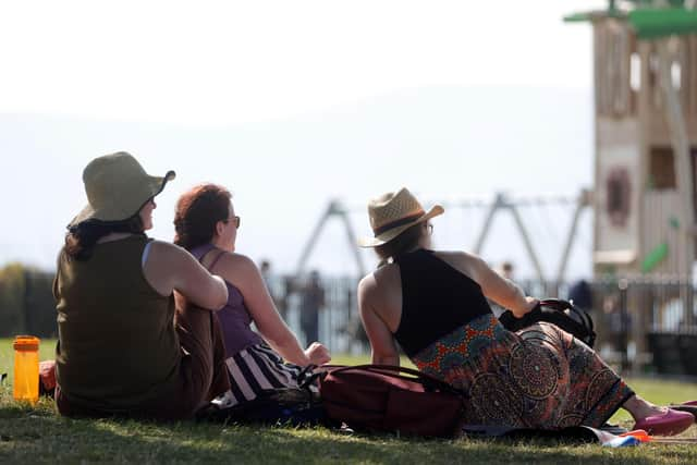
‘Any showers will probably be confined to the far southwest of the UK but could be heavy and thundery.
‘Temperatures are likely to be well above normal, especially in the south.
‘Later, it will likely become more changeable with some showers or longer spells of rain at times.
‘Rainfall is expected to be highest in the south where some heavy, thundery showers are possible, with drier conditions further north.
‘Some periods of dry and settled weather are also likely to develop at times.
‘Temperatures are expected to be above normal’.
And looking even further ahead – Wednesday 27 Aug - Wednesday 10 Sep – ‘Details during this time frame are low confidence.
‘Overall, unsettled conditions with showers or longer spells of rain are expected to be most prevalent.
‘Some heavy and thundery rain is possible at times with a risk of strong winds.
‘Interspersed with this are likely to be some transient periods of drier and more settled weather.
‘Temperatures are expected to be above normal with a chance of some hot spells, especially in the south’.