
Northern Ireland bracing for weekend of snow and ice - expected to last till week: Met Office weather warnings in place
Northern Ireland is bracing itself for a weekend of snow and ice - with the big freeze expected to last well into next week.
This morning the PSNI warned of “treacherous” driving conditions right across Northern Ireland.
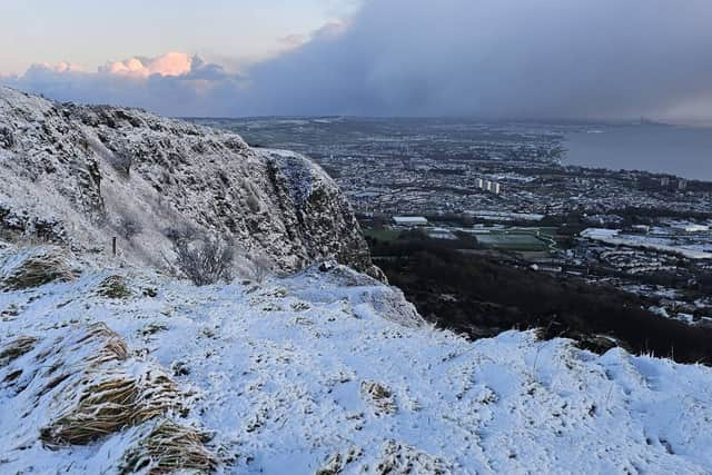

Met Office yellow weather warnings are in place for snow and ice across all counties of Northern Ireland from 3pm on Friday until noon on Monday.
Arctic air and brisk northerly winds are expected to grip the entire UK and Republic of Ireland throughout the weekend and into next week.
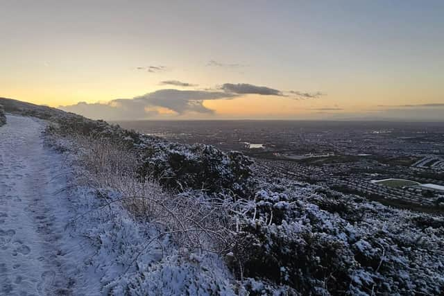
Amber warnings for snow were given for northern and eastern Scotland into Saturday, with wellow warnings for snow and ice in force across parts of Scotland, Northern Ireland, Wales and central and southern England.
Forecasters have warned there could be snow accumulations of up to 20cm on low ground and up to 40cm on higher ground in Scotland.
The UK Health Security Agency (UKHSA) has issued an amber cold health alert for most of England until 9 January, meaning the weather is expected to have severe impacts across health and social care services.
The agency urged the public to check in with vulnerable friends, family and neighbours that are most vulnerable during the cold spell.
Met Office spokeswoman Nicola Maxey told the News Letter how the situation was impacting Northern Ireland.
She noted that snow showers mainly affected northern and western parts of Northern Ireland on Friday, resulting in patchy accumulations of 1–2 cm in many places, along with widespread icy stretches.
Light falls of snow were reported on the ground on Friday in Cushendall, Cookstown, Omagh, Ballymena, Carrickmore, Glens of Antrim, Belfast Hills and the Banbridge area.
There are two consecutive yellow warnings for snow and ice in place, from 3pm on Friday until noon on Monday, she added.
Cold northerly winds were to bring sleet and snow showers to much of Northern Ireland on Friday, continuing overnight into Saturday morning and increasing the likelihood of ice on untreated surfaces.
"While most low-lying areas are unlikely to see significant snow, a centimetre or two is possible in places, with 2–5 cm possible on higher routes such as the Glenshane Pass," she added.
Saturday noon until Monday will see snow showers continuing to affect many parts of Northern Ireland.
"The heaviest and most frequent showers are expected in the north. Not all locations will see snow, but by Monday morning, 1–3 cm is likely in many areas, with 5–10 cm possible in a few locations, especially over higher routes.
"Ice will remain an additional hazard, particularly on untreated surfaces and during early mornings.
"Very cold conditions are set to persist into next week, with northerly Arctic winds keeping temperatures low and the risk of further wintry hazards."
In the Republic of Ireland Met Eireann issued a yellow warning for snow and ice for Donegal between 8pm on Friday and 11am on Saturday.
It has issued two broader warnings covering the rest of the south between 6pm on Saturday and 11am on Sunday.
The NI Fire and Rescue Service urged drivers to drive only at the speed conditions allow and to leave a bigger gap between the vehicle in front.
It also asked drivers to stay alert to cyclists, motorcyclists, pedestrians and tractors in the dark and to allow more time for journeys.