
Northern Ireland hits the beach in 28C scorcher - but thunderstorm warning as province fails to make official heatwave
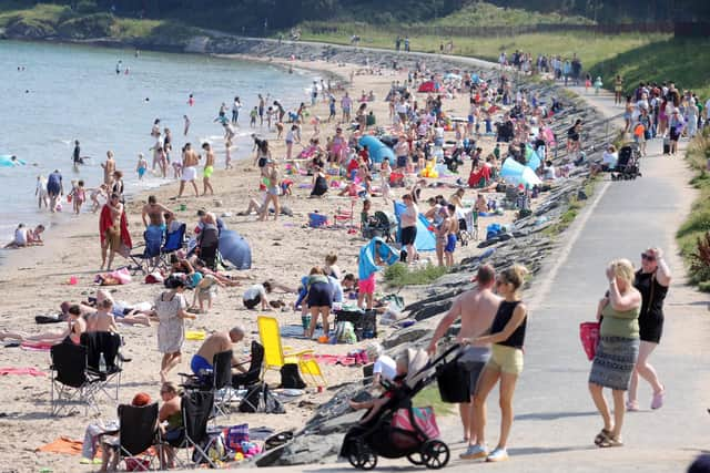
Today was time to reach for beach towels and sunscreen as the mercury peaked at over 28C in Northern Ireland.
With blazing temperatures as the summer holiday period continued, families made for golden sands all over the province for some fun and sun by the sea.
Despite the heat, the day wasn’t a record-breaker, with a 30-year maximum still in place.
And with officials warning of thunderstorms overnight, tomorrow is to bring cooler temperatures – which means Northern Ireland was dodged by the heatwave seen in much of the UK.

Officially, a heatwave is only declared when temperatures of 25C or more are recorded for three days in a row. That’s been widespread in England and Wales, but over here the mercury only crossed that threshold on Tuesday and Wednesday before being forecast to dip back down to between 19C and 23C.
On Wednesday, the province’s hottest place was the Giant’s Causeway, where the Met Office recorded a 28.1C maximum. The record for August, set in Tandragee in 1995, is 30.6C.
“It was still a very warm day indeed,” said a Met Office spokesman, “but it’s not quite setting a record and it looks likely Northern Ireland will miss a heat wave.
"There is still a chance, some figures could come in [from monitoring stations] that show there was a third day, but it would be very localised. Nothing like the wide-ranging effects we’ve been seeing in England and Wales.”

The Met Office has put out a thunderstorm warning for Northern Ireland from midnight to 10pm on Thursday, but the spokesman took pains to reassure that it’s only a low likelihood of there being any problems.
“Any thunderstorms are going to be very scattered,” he said. “It’s important to emphasise that while the warning is out, it’s saying there is a chance that if you get caught in a shower it could be a thunderstorm.
“It’s difficult to pinpoint exactly where they’re going to be, so the warning is a fairly broad brush.”
Temperatures were expected to be mild overnight, hitting around 15C to 16C, then climbing to a maximum of over 23C during the day.

Moving into the weekend, said the spokesman, the province can expect a generally dry Friday and Saturday, with temperatures an above-average 22C.
"That’s quite a nice way to go into the weekend,” he added. “It’ll be days of very settled weather, largely dry and slightly higher temperatures than normal.”
It’s a far cry from conditions in England, where heat health alerts have been extended into next week following the fourth heatwave of the summer.
The UK Health Security Agency said yellow warnings will now be in place in Yorkshire and Humber, the East and West Midlands, London, the South East and South West and East of England until 6pm on Monday.
Meanwhile Scotland has also been issued with a yellow warning for thunderstorms, similar to Northern Ireland, though theirs started at 2pm on Wednesday.