
Northern Ireland temperatures to stay 'at or above average' this week but keep a brolly handy...
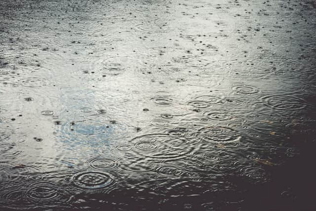
A wet start to December in Northern Ireland after a ‘pretty wet November too’, according to Met Office Meteorologist Alex Deakin.
But in spite of the negatives, Northern Ireland avoided the yellow weather warning affecting England and amber warning affecting Wales today for heavy rainfall.

He added that we could look forward to a ‘brighter day on Tuesday’.
And despite a recent spell of frosty days, it's expected that temperatures throughout this week will remain at or above average for this time of year.
This comes in sharp contrast to a dip of a ‘lowest minimum temperature recorded last night in Castlederg of -2.8 °C’, according to the UK daily weather extremes.
However the Northern Ireland Met Office forecast advises that today has been ‘cloudy with outbreaks of rain throughout the day’ with the ‘rain generally light and drizzly’.
It adds that after rain being ‘heavy for a time in the east in the morning’ another band of heavier rain spread east through the afternoon.
There has been a maximum temperature 9 °C.
And tonight will be ‘cloudy as a band of rain spreads east through the early evening, with variable cloud and clear spells developing behind’.
It will remain ‘mainly dry overnight but a few showers in western counties’ and a ‘minimum temperature 2 °C’.
Tomorrow (Tuesday) ‘will be a largely dry day with variable cloud and bright or sunny spells’.
However there is ‘the chance of a few showers in the northwest’ and being ‘windy around the north coast’.
The maximum temperature will be 7 °C.
And the outlook for the rest of the week is ‘mostly dry Wednesday with bright spells and a few showers, then a band of rain passes east Wednesday night’ and ‘mostly dry but cloudy Thursday and Friday, before rain later Friday’.
Looking further ahead the outlook for Friday 5 Dec - Sunday 14 Dec is: ‘Likely a continuation of the unsettled conditions see for much of the week.
‘Initially a weakening frontal zone will bring cloud and some patchy rain and drizzle, mostly to northern and eastern areas.
‘Following this winds are likely to fall light, and this could allow some fairly widespread mist and fog to form on Friday morning.
‘However this should readily lift as winds begin to freshen once more ahead of a further band of rain expected to reach western areas later on Friday.
‘This could bring a spell of locally heavy rain as it moves east across the country, particularly on hills exposed to the strong southerly winds.
‘Thereafter likely to remain unsettled into the weekend, with further rain or showers for most. Temperatures not far from average throughout’.
And looking forward to Christmas the out look is: ‘A greater chance of spells of high pressure during this period, bringing more in the way of dry weather compared to the unsettled patterns we are likely to see through the first couple of weeks of December, which also increases the chances of overnight fog and frost.
‘There will probably still be some spells of rain, showers, and stronger winds though, especially in the west.
‘Hill snow is also a possibility, mainly in the north.
‘Overall, near or slightly above average temperatures are most likely, though some colder spells are also possible, especially should any prolonged settled spells develop’birthern irekabd weather.