
Northern Ireland warming up for its third heatwave of 2025 as temperatures reach nearly 28C
Northern Ireland is on course for its third heatwave in 2025 – only four weeks after heatwave criteria was met in July.
According to the Met Office, temperatures must reach 25C or above for at least three consecutive days for a heatwave to be declared.
On Monday, according to the Met Office, NI’s highest maximum temperature was 25.2C at Derrylin in Co Fermanagh.
That was bettered on Tuesday as the top temperature was 27.8C in Armagh, with Derrylin 27.3C in second and Giant’s Causeway next up at 26.7C.
Whilst the temperatures aren’t set to reach those heights on Wednesday – it is still going to be a warm day in the province.
Wednesday’s forecast is to ‘begin cloudy but dry’ and any ‘cloud will soon break to give a dry and warm day with the chance of an odd afternoon shower’. Again the maximum temperature is 25C.
And the outlook for the weekend is: ‘Thursday morning, cloudy with widespread, locally heavy showers spreading north’ before ‘showers soon clear leaving Thursday afternoon, Friday and Saturday mainly dry with sunny spells and the odd shower’.
The news comes as health alerts have come into force around the UK as ‘temperatures could hit 34C during the fourth heatwave of the summer’.
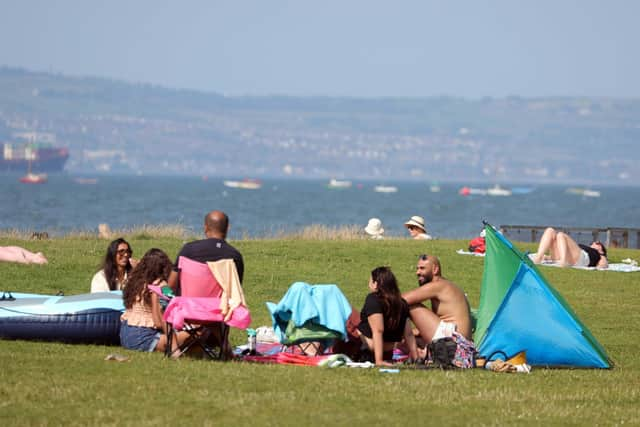

The UK Health Security Agency (UKHSA) has warned of possible deadly effects as it issued heat health warnings for all of England.
Amber warnings are in place for the East Midlands, West Midlands, east of England, London and the South East until Wednesday, with yellow warnings in place for the remainder of the country.
Southern areas including Berkshire, Oxfordshire and the outskirts of London such as Heathrow may reach 34C.
The agency has warned of significant impacts across health and social care services due to the high temperatures, including the potential for a rise in deaths, particularly among those aged 65 and over or with health conditions.

People are recommended to keep their homes cool, wear appropriate outdoor clothing and keep out of the sun during the midday heat, and know the signs of heat exhaustion and heatstroke.
And looking further ahead the Met Office say that Saturday 16 Aug - Monday 25 Aug is: ‘High pressure is set to dominate the UK by this weekend, bringing fine, dry, and very warm or hot weather with light winds for most, though breezier in the far south.
‘After a spell of cooler, cloudy, and murky conditions in the north, especially along coasts, it will turn clearer and warmer here too.
‘Early next week, there's an increased chance of very hot conditions in the south, possibly with rain or thundery showers.

‘Once this clears, changeable weather is more likely, with outbreaks of rain (most frequent in the west) and warm, dry interludes with sunny spells.
‘Toward the end of this period, there are some indications of an increased chance of more generally unsettled weather developing, though confidence at this range is typically low’.
And looking even further ahead Tuesday 26 Aug - Tuesday 9 Sep: ‘High pressure, and therefore largely settled conditions, appear more likely overall, however there are some indications that a period of more unsettled weather could develop early in this period.
‘Although dry weather is likely to dominate, periods of rain or showers and thunderstorms will likely develop at times.
‘Above average temperatures overall seem most likely but there may be some fresher interludes in the north at first.
‘There remains potential for further hot spells to develop, especially in the east and south.

‘By the turn of the month, there are signals for high pressure to become less dominant with perhaps a greater chance of some rain, though there is some uncertainty in this aspect of the forecast’.