
Northern Ireland Weather: After a record-breaking Spring we are now into Meteorological summer on 'rinse and repeat' but 'hotter' times to come
After a record-breaking Spring ‘we are now into meteorological summer with sunshine and showers on rinse and repeat today’.
Met Office meteorologist Honor Criswick said there is now ‘a wavy jet stream that is south of the UK bringing us the wet and windy weather we have seen this week’.
She added that Spring was the ‘warmest since records began in 1884’ adding that three of the warmest Spring’s happened since 2017.
And Ms Criswick advised that any dust we see in the wind is coming from ‘the Canadian wildfires’ and have been helping to create some ‘interesting and pretty sunrises and sunsets’.
She added that today in Northern Ireland has seen ‘blustery showers and bright spells’.
She said it would be ‘another cool and breezy day with showers’ with ‘fewer showers and increasing sunny intervals developing through the afternoon’.
There is a maximum temperature of 16 °C.
Meanwhile, tonight we will see ‘the odd shower at first, but an otherwise dry evening with some late sunshine and then clear spells’.


It will become ‘cloudier overnight with rain spreading northeast across Armagh and Down’ and a minimum temperature of 5 °C.
Tomorrow (Thursday) there will be ‘a quite cloudy start, largely dry but with rain pushing northeast over Armagh and Down’.
But there will be ‘bright spells and showers through the afternoon, these heavy at times’.
There will be a maximum temperature of 16 °C.
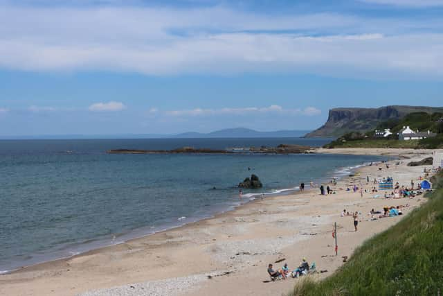
Meanwhile, the weekend weather will see ‘sunshine and occasional showers continue Friday to Sunday’ with ‘heavy showers forming longer spells of rain on Saturday’.
It will turn drier on Sunday, but will feel cool for June.
And the outlook for Sunday 8 Jun - Tuesday 17 June is: ‘Changeable weather across the UK at the start of this period with showers or some longer spells of rain spreading in from the Atlantic.
‘The heaviest and most prolonged rain will probably be across parts of the north and northwest, with the southeast likely driest.
‘Temperatures are expected to be near normal or slightly below.
‘Into the second half of next week, there is potential for some warm or hot weather to develop, particularly in the south and east, although this may be accompanied by heavy showers and thunderstorms.
‘Into the middle of June, high pressure may become more dominant.
‘This will bring periods of fine and dry weather, especially in south and temperatures rising above normal’.
Looking even further ahead – Wednesday 18 Jun - Wednesday 2 Jul – ‘Mid-June will probably see a good deal of dry weather across the UK with high pressure tending to dominate, especially in the south.
‘Toward the end of June and start of July, details are uncertain but conditions may become more changeable with some periods of unsettled weather.
‘Temperatures will probably be slightly higher than normal, perhaps turning hot at times’.