
Northern Ireland Weather: Back to using waterproofs as 'bright spells and scattered showers' reign
Today is going to be the ‘driest brightest day of this working week’ in Northern Ireland, according to Met Office spokesman Alex Deakin.
He says that ‘overall after yesterday’s dismal weather it is a lot brighter and drier today’ and it is noticeable that ‘the winds are not a lively as they were’.
He adds that ‘temperatures are getting close to average for the time of the year’.
Mr Deakin adds that ‘this evening will be dry but then overnight lots more rain comes marching in across Nortrhern Ireland, Scotland, England and Wales’.
Meanwhile the Met Office Northern Ireland says that today will be ‘a quite cloudy start with some outbreaks of rain’ and ‘brighter spells and scattered showers breaking out from mid-morning, perhaps heavy at times, before gradually dying out through the late afternoon’.
It adds there will be a ‘Maximum temperature 17 °C’.
And tonight it will be ‘dry at first, but cloud and rain spread northeast through the evening, heavy at times, and continuing through the night’.
There will be ‘freshening southwest winds’ and a ‘minimum temperature 10 °C’.
And tomorrow (Thursday) will have ‘a cloudy and wet start’ where ‘rain becomes more patchy through the morning, perhaps allowing some brighter spells’.
There will be more rain in the evening and ‘gusty southwest winds, with small chance of coastal gales’.
There will be a maximum temperature 18 °C.
And the outlook for Friday to Sunday is ‘scattered showers Friday morning, drier with sunny spells later’.


There will be ‘rain on Saturday, heavy at times, turning to showers through Sunday’ and ‘occasionally windy’.
The long-term forecast from Sunday 1 Jun - Tuesday 10 Jun is: ‘Continuing changeable with further frontal systems running east into the UK bringing further spells of rain, with showery interludes in-between.
‘Strong winds may also develop at times, particularly towards the northwest.
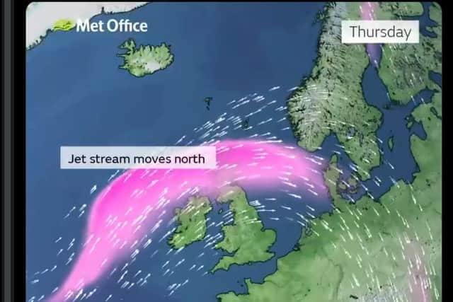
‘With time, the signs are that systems will increasingly track to the northwest of the country, with the south probably starting to see longer, drier interludes while the northwest continues to see more in the way of rain and at times strong winds,
‘Temperatures are expected to be around or a little above normal overall, but will be cooler in any prolonged periods of rainfall.
‘Meanwhile, there is the possibility of some very warm or even hot conditions developing later in this period, especially in the south, and these bring with them the chance of thunderstorms.
And looking even further ahead – Wednesday 11 Jun - Wednesday 25 Jun – we are going to see ‘changeable weather across the UK with a mixture of Atlantic weather systems moving in from the west interspersed with dry and sunny periods’.
‘Wetter conditions tending to be towards the northwest of the UK, with the south and southeast likely to see more in the way of dry weather,
‘Temperatures are most likely to be near or slightly above normal, perhaps with some hot spells at times, especially across the south.
‘Any hot spells may be accompanied by an increased chance of thunderstorms though’.