Northern Ireland weather: Met Office and PSNI warning for heavy snow, blizzards and stranded vehicles
and live on Freeview channel 276
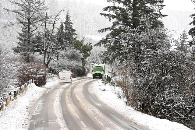
The PSNI is advising road users to prepare for potentially challenging and hazardous driving conditions across Northern Ireland on Thursday due to the Yellow weather warning, which comes into force at 7am.
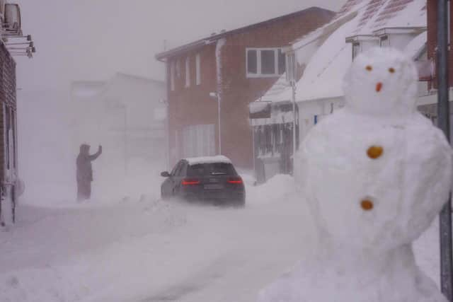
In a Yellow weather warning, the Met Office said the heavy snow has the potential to cause disruption later this week and that some rural communities could become cut off.
Advertisement
Hide AdAdvertisement
Hide AdIt warns to expect possible travel delays on roads and stranding of some vehicles and passengers.

It also says there could be possible delays or cancellations for rail and air travel.
Power cuts may occur and other services, such as mobile phone coverage, may be affected, it added.
The Yellow warning runs from 7am on Thursday until 2pm on Friday and runs across all parts of Northern Ireland, although higher ground may be worst affected.
Advertisement
Hide AdAdvertisement
Hide Ad"An area of low pressure will move across the UK on Thursday and Friday with snow developing across Wales and central England early on Thursday morning," the forecaster said.
"This is expected to move slowly north during the day, becoming slow-moving across north Wales, northern England, Northern Ireland and southern Scotland during the afternoon and evening before slowly clearing southeast on Friday.
"Snow will likely turn to sleet or rain at times at lower elevations, especially in the south of the warning area, as well as near eastern coasts. At low levels including major cities such as Manchester, Liverpool and Newcastle accumulations are expected to be limited with a small chance of 2-5 cm falling.
"However, significant snow accumulations are possible over hills of northern England (including populated areas of South and West Yorkshire), Northern Ireland and southern Scotland. Here, 10-15 cm is expected quite widely above 100 metres, with a chance that 25-40 cm could fall in some places . Additionally, there is potential for strong winds, which may lead to blizzard conditions and drifting of lying snow. Ice is likely to develop widely on Friday night as this system clears away."
Advertisement
Hide AdAdvertisement
Hide AdThe PSNI urged the public to listen to and consider all travel and safety advice before making any journey.
PSNI road safety tips can be seen here: https://www.psni.police.uk/safety-and-support/keeping-safe/protecting-yourself/protect-yourself-when-driving/winter-safety