
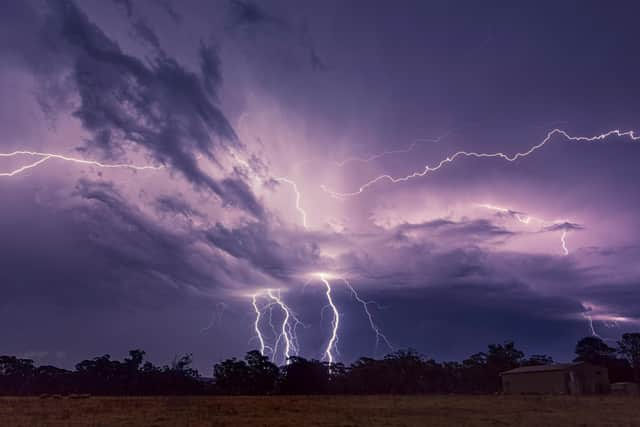
Northern Ireland weather: 'Thunderstorms and lightning with intense downpours' today as we remain in Met Office 'warning zone'
After a ‘muggy night and uncomfortable for some’ there is even worse news – Northern Ireland is in one of the ‘warning zones for thunderstorms today’.
Met Office meteorologist Clare Nasir also asked people to ‘expect some intense downpours and gusts which could be associated with 40-50 mph and lightening around’.
She added there sill also be ‘some wet weather to come into the afternoon for Northern Ireland’, but on the plus side we will have ‘warm temperatures today whilst it will be even warmer tomorrow’.
She added it will ‘certainly be a dry night for Northern Ireland with one or two showers in the mix’.
The Met Office forecaster added that tomorrow ‘will be a humid day, hotter than Thursday – and possibly 20C – 22C for Northern Ireland’.
She cautioned anyone going on a car journey to ‘keep an eye on the forecast as you could run into some intense downpours’.
Yesterday the Met Office issued a Yellow weather warning for rain in Northern Ireland between 6am and 9pm this evening.
They said that ‘heavy rain will move northwards across Northern Ireland during Thursday and may lead to some disruption in places’.
Meanwhile the Met Office Northern Ireland warns of ‘scattered showers turning heavier, frequent, thundery for this afternoon’.
It adds that today will be ‘a cloudy day with scattered morning showers that turn heavy and frequent for the afternoon, bringing the risk of thunderstorms’
There will be ‘southeast winds’ and it will be ‘seasonally warm in the afternoon’.
There will be a maximum temperature 22 °C.


Tonight will see ‘showers or longer periods of rain at first, heavy early evening with a diminishing risk of thunderstorms’.
It will ‘gradually turn drier late evening and through the night, but remaining cloudy’
There will be a minimum temperature 9 °C.
Tomorrow (Friday) will have a ‘cloudy start with some early patchy rain, otherwise sunshine and a few well scattered showers, these chiefly appearing during the afternoon and turning heavier later’.
And there will be a maximum temperature of 23 °C.
The outlook for Saturday to Monday is that there will be ‘sunshine and afternoon showers for Saturday’ but ‘rather cloudy for Sunday and Monday with some patchy rain, this focused in the north and west’.
Meanwhile the long-distance forecast for Monday 16 Jun - Wednesday 25 Jun is: ‘On Monday, cloudy with spells of rain still holding on across Scotland and Northern Ireland.
‘Further south, high pressure to the southwest of the UK will extend northeastwards, bringing settled and fair weather mainly across England and Wales.
‘Cloud and rain will eventually ease across western Scotland and Northern Ireland, and the weather should turn drier and brighter across eastern Scotland where sheltered by high ground.
‘From mid week, high pressure is signalled to dominate much of the UK, bringing dry and fine weather, and feeling warm in the sunshine with light winds for most.

‘Any early morning mist or fog will be quick to clear, and daytime temperature will likely trend around or above normal for the time of year’.
And looking even further ahead – Thursday 26 Jun - Thursday 10 Jul – ‘Following high pressure brining mainly dry and warm weather across the UK, the weather during late June and early July is expected to turn more changeable, with spells of rain or showers probable for all parts at times.
‘Rain or showers could be heavy and thundery, which is normal for the time of year.
‘Temperatures are likely to be above average overall, more likely early in the period, as is the chance of any very warm or hot spells’.