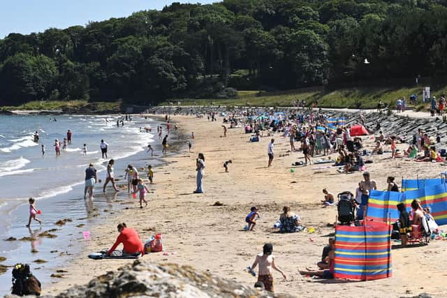
Second heatwave - This is when experts predict a second heatwave should arrive in NI and rest of UK
and live on Freeview channel 276
Although always difficult to say with absolute certainty what the long-term weather will be like in two or three weeks time, the Met Office has said there is "potential for hotter weather later in the month (August)" and "temperatures are likely to be above average".
The Met Office suggests we are most likely to see a potential return of warmer weather between Tuesday August 24 to Tuesday September 7.
Advertisement
Hide AdAdvertisement
Hide Ad"A general trend towards more settled conditions is likely," said the Met Office.
"Somewhat unsettled and changeable conditions are most likely to remain in place at the start of the period, with these looking to give way to more settled, drier conditions by the end.
"Temperatures are likely to be above average, with the potential for hotter weather later in the month," the Met Office added.
The Met Office's Irish counterpart, Met Éireann, says areas of high pressure in Northern Ireland and in the northern most parts of the Republic of Ireland, will see below average rainfall and "above average temperatures".
Advertisement
Hide AdAdvertisement
Hide AdMet Eireann weather forecast for (Monday August 23 to Sunday August 29):
"In Week 3, the signal is for high pressure to continue to hold with an east to northeast airflow.
"Rainfall amounts will likely be below average throughout the country, especially in the northwest.
"Temperatures are signalled to be around average for the southern half of the country but slightly warmer than normal over the northern half," said Met Éireann.
Advertisement
Hide AdAdvertisement
Hide AdMet Eireann weather forecast for (Monday August 30 to Sunday September 5):


"In Week 4, there is a weaker signal than for Week 2 and 3 but still indicating high pressure to be the main feature with an east to southeast airflow.
"In this scenario, above average temperatures are likely, mainly over the northern half of the country and rainfall amounts would continue to be below normal throughout the country," stated Met Éireann.