
Storm Floris now clearing northwards from Northern Ireland before 'finest day of the week' - as another 'wet episode waits in the wings'
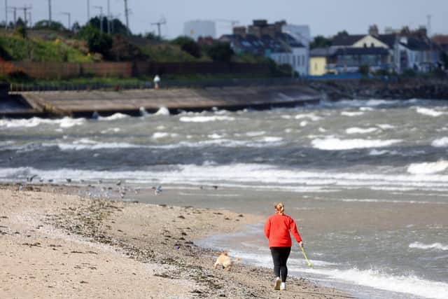
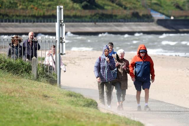
The outfall of Storm Floris is not quite over in Northern Ireland with blustery winds remaining throughout northern parts of the UK, according to Met Office Meteorologist Aidan McGivern.
Aidan added that Wednesday is expected to be ‘the finest day of the week’ but warns that another ‘wet episode is waiting in the wings, but is nowhere near as bad as Storm Floris’.
The Met Office have confirmed that Northern Ireland provisionally equalled its August gust record, with 66mph at Orlock Head putting it level with figures also reported in 1962, 1973 and 1989.
They add that some higher gust figures have been reported online, though these are not official observing sites or are mountain sites and are excluded from observations reporting as they’re not representative of conditions people are experiencing away from mountain tops.
And the Met Office Northern Ireland says that ‘winds are well down from yesterday with Storm Floris now clearing northwards, but fresh west to northwest breezes will keep a run of brighter spells and showers across the area’.
They add that the ‘heaviest outbreaks are expected during the morning before dwindling through the afternoon’.
There will be a maximum temperature 19 °C.

Tonight will stay ‘dry with clear spells, with winds easing light to bring the risk of isolated rural fog patches in the south come dawn’.
There will be a minimum temperature 9 °C.
And tomorrow (Wednesday) we will enjoy ‘a fine dry, bright morning’ with ‘cloud increasing during the afternoon to bring the chance of some patchy rain to the west for the evening’.
There will be ‘southwest breezes’ and a ‘maximum temperature 20 °C’.
Meanwhile the outlook for Thursday to Saturday is ‘rain early Thursday, then brightness and isolated showers’ before a ‘showery Friday with the risk of afternoon thunderstorms’ and then a ‘south mainly dry, bright Saturday, north seeing showers or longer periods of rain’.
And looking forward the fore cast for Saturday 9 Aug - Monday 18 Aug is that ‘this period starts with something of a north-south split’.
‘Some locally heavy rain or showers, with a risk of thunder, will likely affect the north, along with some strong winds, whilst the south looks like starting mainly dry with some warm sunshine and lighter winds.
‘There is a small chance of some rain or showers even in the south, but more likely it will be mainly dry and warm here.
‘Temperatures will probably be close to average in the north at first.
‘As we move towards the middle of the month, there is an increased chance of high pressure becoming more dominant, leading to drier, more settled conditions becoming more widespread with above average temperatures.
‘However, some brief unsettled spells remain possible, particularly towards the end of this period’.
And looking further ahead, the forecast for Tuesday 19 Aug - Tuesday 2 Sep is: ‘High pressure, and therefore largely settled conditions overall, appears more likely for the second half of August.
‘Although dry weather is likely to dominate, periods of rain or showers and thunderstorms may develop at times, these perhaps more likely later in the period.
‘Above average temperatures overall seem most likely, with the potential for hot spells to develop, especially in the east and south.