
Met Office thunderstorm weather warning for Northern Ireland now active after 'heatwave' scorcher - but will high temperatures roll on?
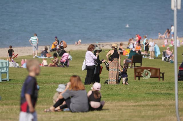

A yellow weather warning for thunderstorms is now active from the Met Office until tonight at 10pm.
The yellow weather warning for thunderstorms started at midnight.
The warning says that ‘whilst some places will remain dry, heavy showers and thunderstorms could cause disruption on Thursday’ and people should expect:
- Spray and sudden flooding could lead to difficult driving conditions and some road closures
- There is a small chance that some communities become cut off by flooded roads
- Where flooding or lightning strikes occur, there is a chance of delays and some cancellations to train and bus services
- There is a slight chance that power cuts could occur and other services to some homes and businesses could be lost
The news comes as it is revealed that yesterday the highest maximum temperature in Northern Ireland was 28.1 °C at the Giants Causeway.
That was the third consecutive day of temperatures exceeding 25C in Northern Ireland.
According to the Met Office, temperatures must reach 25C or above for at least three consecutive days for a heatwave to be declared.
According to the Met Office Northern Ireland today we will see ‘any low cloud lifting and clearing to leave a bright day with occasional sunny spells’ although ‘some showers are likely, especially over parts of Down and Antrim’.
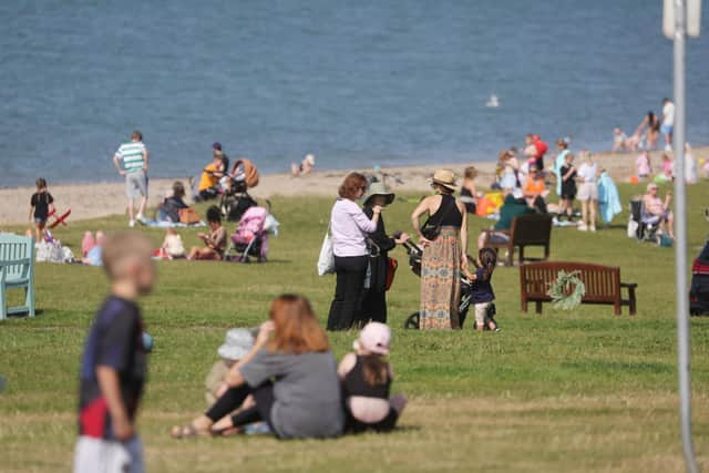
There will be ‘light winds’ and a maximum temperature 23 °C.
And tonight ‘any showers over Down and Antrim will soon die away leaving a largely clear evening allowing some mist or fog to develop’ and it will be ‘clouding over from the north overnight’ with a maximum temperature 11 °C.
Tomorrow (Friday) will have a ‘rather cloudy start with patchy mist or fog, but sunny spells developing’.
There will be a ‘maximum temperature 22 °C’.
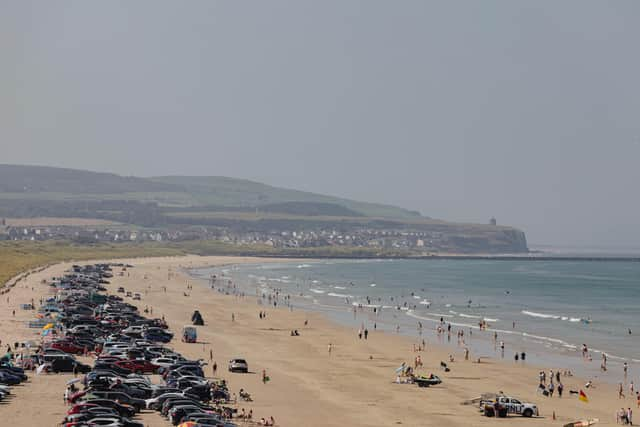
And the news is good for the weekend, according to the Met Office as it is to be ‘mainly dry and bright’ and ‘warm or very warm in any sunshine’.
Although showers are possible ‘from late Sunday and through Monday’.
Looking further ahead – Monday 18 Aug - Wednesday 27 Aug – ‘High pressure will be dominant across much of the UK at the start of this period.
‘This will bring a good deal of fine and dry weather with spells of sunshine for many.
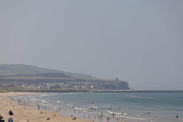
‘Any showers will probably be confined to the southwest of the UK but could be heavy and thundery.
‘Temperatures are likely to be well above normal, especially in the south.
‘Later, it will likely become more changeable with some showers or longer spells of rain at times.
‘Rainfall is expected to be highest in the south where some heavy, thundery showers are possible, with drier conditions further north.
‘Some periods of dry and settled weather are also likely to develop at times.
‘Temperatures are expected to be above normal’.
And looking even further ahead – Thursday 28 Aug - Thursday 11 Sep – ‘Details during this time frame are low confidence.
‘Overall, unsettled conditions with showers or longer spells of rain are expected to be most prevalent.
‘Some heavy and thundery rain is possible at times with a risk of strong winds.
‘Interspersed with this are likely to be some transient periods of drier and more settled weather.
‘Temperatures are expected to be above normal with a chance of some hot spells, especially in the south’.