Beast from the East II to blast N.I. - polar vortex moving in from Arctic


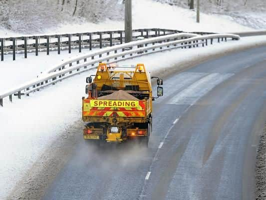
The 'Beast from the East' caused chaos across Northern Ireland and other parts of the United Kingdom in February and March last year.
Almost 25 centimetres of snow was recorded in Glenanne in Co. Antrim.Like the 'Beast from the East, a weather system from Scandinavia is moving towards Northern Ireland.
Advertisement
Hide AdAdvertisement
Hide AdThe current Scandinavian blast is being driven by what experts call a Sudden Stratospheric Warming (S.S.W.).
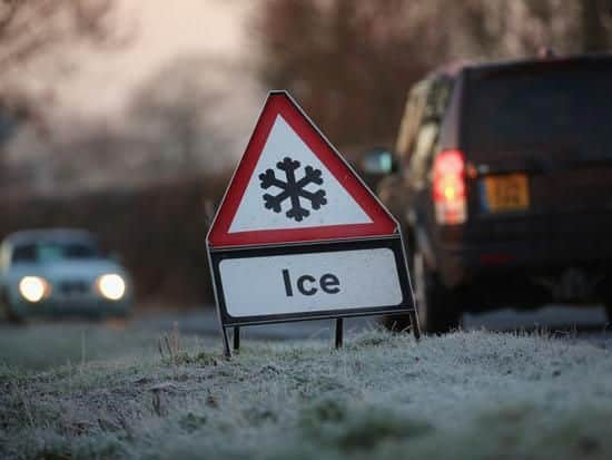
The Met Office have warned against possible snowfall and freezing cold temperatures as a result of the S.S.W.
The S.S.W. is currently underway which has resulted in the moving south of a displaced polar vortex from the Arctic.
"There is a risk of some hill snow in the north, but perhaps to lower levels at times too," said the Met Office on its official website.
Advertisement
Hide AdAdvertisement
Hide AdIn reference to the second half of January, the Met Office warned of "severe gales", "heavy rain" as well as an "enhanced risk of frost, fog and snow".
"It is likely start unsettled across most areas at first, with perhaps heavy rain and gales at times, especially in the north, where severe gales are possible.
"Hill snow is also possible, as well as snow to lower levels at times in the north.
"By the third week of January there is then an increased likelihood of a change to much colder weather generally, bringing an enhanced risk of frost, fog and snow.
Advertisement
Hide AdAdvertisement
Hide Ad"These conditions may then continue to the end of the month, but some milder, wet and windy interludes also remain possible throughout this period."
What is a S.S.W.?
The term SSW refers to what we observe - rapid warming (up to about 50 °C in just a couple of days) in the stratosphere, between 10 km and 50 km up.
Jet streams high up in our atmosphere, in both the northern and southern hemisphere, circumnavigate the Earth from west to east. One of these, the Polar Night Jet, circles the Arctic.
Sometimes the usual westerly flow can be disrupted by natural weather patterns or disturbances in the lower part of the atmosphere, such as a large area of high pressure in the northern hemisphere.
Advertisement
Hide AdAdvertisement
Hide Ad
This causes the Polar Jet to wobble and these wobbles, or waves, break just like waves on the beach.
When they break they can be strong enough to weaken or even reverse the westerly winds and swing them to easterlies.
As this happens, air in the stratosphere starts to collapse in to the polar cap and compress.
As it compresses it warms, hence the stratospheric warming.
What is a Polar Vortex?
The polar vortex is a circulation of winds high up in the stratosphere, up to 30 miles (50 km) above the earth.
Advertisement
Hide AdAdvertisement
Hide Ad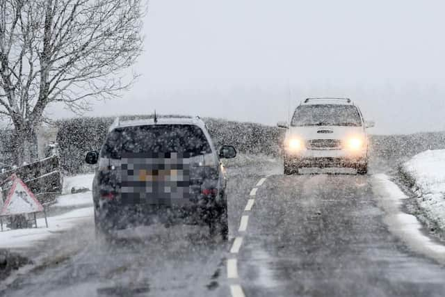
It is present in winter, and is not a new phenomenon, scientists have known about it for many years.
The winds regularly exceed 155 miles per hour (250 km per hour) – the strength of the winds in the strongest hurricanes (known as Category 5).
During the winter it can strengthen and weaken. These changes exert an influence lower down in the atmosphere and ultimately on our weather.