
Northern Ireland weather: More sunshine today with 22 °C expected, but when will the weather break?
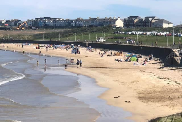
Northern Ireland has been blessed today with yet another dry day with plenty of warm sunshine.
But, given the history of weather here it leaves us all wondering when the weather will break?
According to the Met Office Northern Ireland today started with ‘patchy mist or fog’ clearing to ‘leave a dry day with plenty of sunshine’.
They add that ‘it will feel warm with winds remaining light’ and a maximum temperature 22 °C.
However Met Office spokesman Stephen Dixon advises that ‘the warm conditions will gradually diminish in Northern Ireland in the coming days and over the weekend’.
He said that ‘while it’ll remain dry for the next couple of days in Northern Ireland, with patchy cloud and sunny spells likely today and tomorrow (Thursday), a more unsettled weekend of weather is on the way, with the transition for Northern Ireland starting on Friday afternoon’.
He added that ‘frontal rain arrives from the west by around midday on Friday and will move gradually eastwards on Friday and Saturday, bringing rain for all of Northern Ireland’.
‘That unsettled feel will continue on Sunday, with windy conditions also likely, especially for immediate coastal areas,’ he added.
‘Through the weekend, parts of Northern Ireland could see 20-30mm of rain, though it may become more showery in nature by the end of Sunday.
‘The set-up for next week is for the unsettled westerly regime to continue with a mixture of sunny spells and showers likely through next week’.
Mr Dixon added that ‘the recent sunny and warm conditions were largely influenced by an area of high pressure sat over the UK, helping to repel rain systems away from the UK and allowing temperatures to build by day’.


‘The reason for the upcoming change is that the high pressure system is shifting away and allowing a more mobile weather pattern to develop from the west, which invites the potential for more wet and windy weather to arrive from the west at times’.
Meanwhile the outlook for for Friday to Sunday is ‘dry, bright Friday morning, then cloudy with rain later in day and overnight’.
Forecasters add there will be ‘bright spells and showers over weekend, showers becoming more frequent during Sunday with strengthening southwest winds’.
The long-range forecast – Sunday 25 May - Tuesday 3 Jun – says ‘a much more unsettled period than of late with the whole of the UK likely to see showers or some longer spells of rain, but also some drier and brighter interludes.
‘For Sunday and Bank Holiday Monday it's likely a story of sunshine and showers.
‘The showers will be heavier and more frequent in the west where it may also be windy, especially across the northwest.
‘The east, especially the southeast may well see a good deal of dry weather.
‘The rest of the week then sees further frontal systems run into the UK, bringing more widespread rain at times, but again some drier spells in-between these.
‘Temperatures will probably be close to average, perhaps slightly above at times, but will feel fairly cool in the often strong winds’.
And looking even further ahead – Wednesday 4 Jun - Wednesday 18 Jun – ‘changeable weather conditions are expected as we head into June although with time a trend toward longer settled spells seems likely.

‘So spells of wet weather with showers or longer spells of rain are likely to be interspersed with drier, sunnier periods these drier periods may become more prevalent as we had further into June.
‘Overall, it will likely be wetter in the west and drier in the east.
‘Temperatures will probably average out around normal, although some very warm or even hot spells are still possible, as normal for the time of year’.