
Northern Ireland Yellow Weather Warning for Snow and Ice - heading into weekend of snow, wintry showers and frost
Northern Ireland is heading into a weekend of snow, wintry showers and frost - while other parts of the UK are expected to see extreme weather by comparison.
The Met Office has issued a Yellow Weather warning for snow and ice right across Northern Ireland from midnight on Thursday to 10am on Friday.
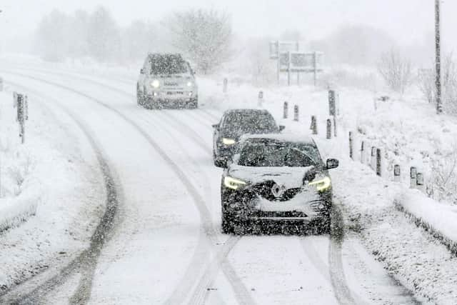

Weather warnings for snow have been upgraded to amber in other parts of the UK as people face a wintry start to the new year.
The Met Office has issued amber warnings for heavy snow showers that could bring disruption in parts of the Highlands and north-east Scotland between midday on Friday and midday on Saturday.
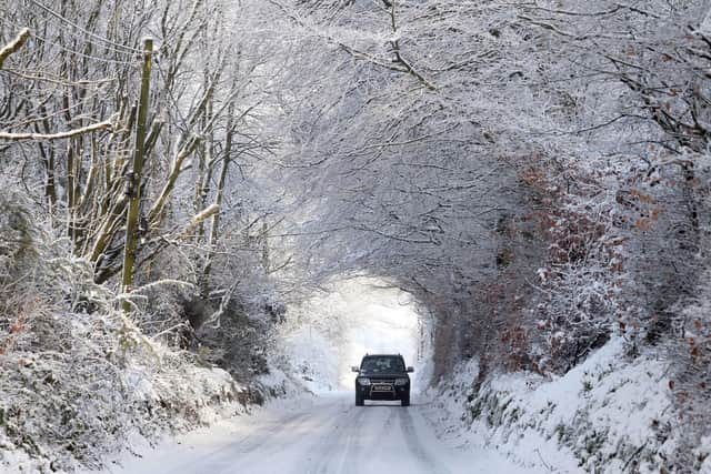
It warns accumulations of 10-20cm of snow are likely at low levels, with 30-40cm possible on high ground, while winds could lead to temporary blizzard conditions.
Forecasters said some delays and cancellations to rail and air travel are likely, as are power cuts and disruption on the roads, while some rural communities could become cut off.
Authorities said people should consider whether their journeys are necessary and think about changing their plans.
On Friday, a yellow warning for snow and ice has been issued across large parts of England and Wales between midnight and noon, including Chester and Greater Manchester down to London and Kent.
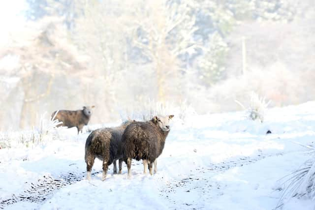
Snow up to 5cm could blanket some areas, especially on higher ground in parts of North Wales and north-west England.
Met Office meteorologist Marco Petagna told the News Letter that a cold Arctic air mass will remain in place over Northern Ireland over the next few days.
He said Thursday afternoon would see sunshine and a few showers feeding with a chilly north to northwest wind but wintry showers over the higher hills.
Thursday night into Friday will see some more organised rain and sleet, with some snow over the hills which will move south across all parts, followed by some icy conditions into Friday morning.
"A yellow snow and ice warning was issued for Northern Ireland from midnight until 10am Friday 2 January with 1-2cm of snow possible on hills.
"There will be a mix of bright and sunny spells, with chilly northerly winds and scattered wintry showers will continue through Friday and the weekend, with widespread night frost and some ice possible.
"Less cold air will try to edge in from the west heading into next week, but confidence in the details at this stage is quite low. In any case temperatures may well only return to average at best."
January 1 saw with highs of 5C expected in Belfast, 7C in London, 6C in Manchester, 3C in Edinburgh and 8C in Cardiff,.
In a post on X on Wednesday, the Met Office said a “dip in the sea” on Thursday will feel “relatively mild compared to the wind chill that can be expected on land”.
People have been urged to prepare for longer journey times by road, and on bus and train services.
The forecaster has also warned of injuries due to slips and falls on icy surfaces, which will develop quickly as sleet and snow clears.
A Met Office spokeswoman said: “We expect this cold spell to persist into the weekend and on into next week, with further warnings possible as temperatures remain well below average and snow showers continue in places.”