
Wednesday to be another scorcher as temperatures peak - but is this it for Northern Ireland's heat wave?
Northern Ireland’s in for another scorcher of a day on Wednesday (30th) – though it looks like a hoped-for record-breaker won’t happen.
Yesterday the Met Office estimated there was a 30% to 40% of the middle of this week breaking a 40-year record for the highest temperature ever documented in the province during April.


To do that, the mercury would have to climb higher than 24.5°C, something it was stated may have been possible in the western half of Northern Ireland.
Forecasts now predict temperatures will max out around 23°C – still impressive, but leaving the record intact.
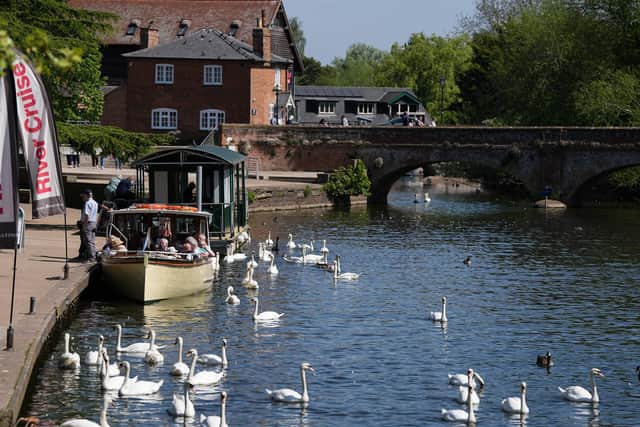
Wednesday also marks the last day of the heat wave for Northern Ireland, with temperatures dropping down to the mid-teens as the weekend approaches.
It means weather here returns to much more normal patterns seen at this time of year, though other parts of the UK will see balmy sunshine continue for several more days.
Today (29th) the province hit a high of 22.2°C, which was recorded in Derrylin, Co Fermanagh, though most areas sat around 19°C or 20°C.
On Wednesday, most of Northern Ireland is forecast to hit 22°C around 3pm; the same period on Thursday sees the province between 12°C and 14°C as our heat wave disperses.
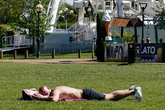
That means the next few days will see temperatures closer to those Ulster has experienced over the opening nights of this week – and overnight temperatures are set to be cooler too, dropping down to single digits by 10pm.
A Met Office spokeswoman told the News Letter that Thursday could see a high of around 17°C in the south-east of the province, but most areas will be sitting around average temperatures as a cold front moves in.
The Bank Holiday weekend is projected to be dry with sunny intervals, but with temperatures around average to above-average for this time of year, the spokeswoman said.
Across the UK as a whole, this has been the hottest week of the year so far, which the Met Office put down to “the jet-stream pushing well to the north of the country, allowing high pressure to build in and delivering sunny skies and day by day rising temperature”.
Warning people not to forget their sunscreen, a spokesman said: “The sun at the moment is as strong as it is in August, high UV levels are expected.”
Although England and Wales are going to bask in continuing sunshine for the rest of this week, the start of May will see things cool down in Scotland and Northern Ireland.
"Still warm, but a little less so as cloud starts to move southwards,” said a spokesman, adding that isolated rain showers are possible on Thursday.
Friday will see more cloud moving from north to south, though the Met Office predicts it to “very erratically and slowly drift its way [down]”.
“A bit more cloud and a few showers about,” said the spokesman. “The front will also impact temperatures and, because of the uncertainty with the timing, there's some uncertainty about temperatures on Friday.”
Said the Met Office: “It's certainly not going to be an unsettled weekend; for the vast majority it's going to stay fine, even if it is not quite as warm.”