
Weekend weather in Northern Ireland remains 'mobile' and 'lively' but Sunday more settled and warm - 'drier, sunnier, and warmer conditions' on way
Weekend weather remains ‘mobile’ and ‘lively in Northern Ireland, according to Meteorologist Clare Nasir.
She said we have had ‘a wet start to the day as rain continues to move in across the UK from the west’ but ‘rain will clear in Northern Ireland’ for a time before returning later in the day.
Ms Nasir adds that ‘Friday is a better start to the day’ but ‘things ramp up with showery bursts of rain as weather remains mobile and
lively’ on Saturday.
However, ‘weather is more settled on Sunday and warmer’.
And, according to the long distance forecast ‘there are some indications of a warmer and more settled spell developing in mid-June, thanks to the potential influence of high pressure building from the south or southwest’.
Nicky Maxey from the Met Office adds that ‘current signals do suggest we could see drier, sunnier, and warmer conditions for a few days during the middle of the month’ although ‘caution is needed around how long this pattern might persist, as Atlantic systems may still try to push in from the west, especially later in the month’.
The Northern Ireland Met Office weather adds that today brings ‘variable amounts of cloud with some bright spells, more especially later this afternoon’.
‘There will be a few showers around, some rain possible across the southeast at first’, according to the Met Office and a maximum temperature of 16 °C.
Tonight will be ‘mainly dry and cloudy’ with ‘clear periods and the odd shower’.
There will be a minimum temperature of 6 °C.
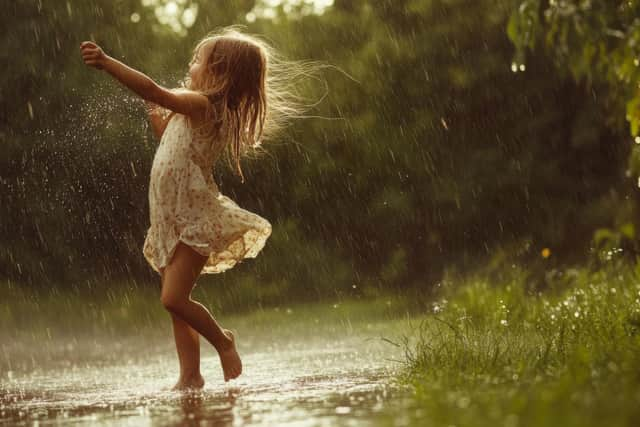

And Friday, is expected to be ‘mainly dry with some bright spells and the odd light shower’.
The Met Office add that ‘showers will become more widespread through the evening’ and there will be a maximum temperature of 17 °C.
And the outlook for Saturday to Monday is ‘rather cloudy on Saturday with showers or longer spells of rain’ but ‘brighter on Sunday with fewer showers’.
The Met Office say the weather will ‘remain unsettled into Monday with rain’.
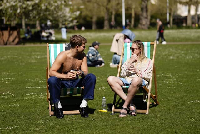
The long distance forecast from the Met Office – Monday 9 Jun - Wednesday 18 Jun – says: ‘Changeable weather across the UK at the start of this period with showers or some longer spells of rain spreading in from the Atlantic.
‘The heaviest and most prolonged rain will probably be across parts of the north and northwest, with the southeast likely driest.
‘Temperatures are expected to be near normal or slightly below. Into the second half of next week, there is potential for some warm or hot weather to develop, particularly in the south and east, although this may be accompanied by heavy showers and thunderstorms
‘Into the middle of June, high pressure may become more dominant.
‘This could bring periods of fine and dry weather, especially in south and temperatures rising above normal’.
And the even better news is that the forecast from Thursday 19 Jun - Thursday 3 Jul says: ‘Mid-June will probably see a good deal of dry weather across the UK with high pressure tending to dominate, especially in the south.

‘Toward the end of June and start of July, details are uncertain but conditions may become more changeable with some periods of unsettled weather.
‘Temperatures will probably be slightly higher than normal, perhaps turning hot at times.’