
What will the weather be during the Halloween week break for schools in Northern Ireland?
Met Office meteorologist Alex Deakin says this coming week in Northern Ireland will have ‘a little bit of sunshine, some rain and some gusty winds – a typical late October week’.

Adding that ‘nowhere is immune from some wet weather with spells of rain coming and going throughout the week’, Mr Deakin said that ‘you can be confident that low pressure will never be too far away’.
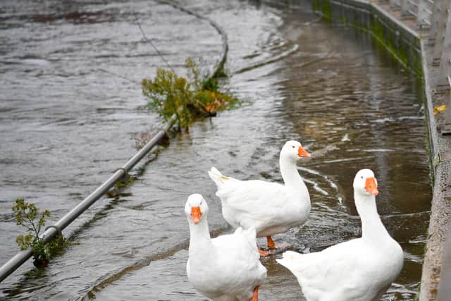

He said that it will be ‘fairly blustery particularly later this week’ but that ‘Tuesday’s temperatures will be back close to the average’ and there will be a ‘fine and cold start to Thursday’.
And the Northern Ireland Met Office forecast added that after a ‘dry bright Monday morning’ rain started to spread ‘east in the afternoon’.
It added there would be ‘the odd shower possible in the northeast but otherwise dry and bright on Monday morning with light winds’.
‘Cloud and rain spreading east in the afternoon,’ added the forecast and a ‘maximum temperature 11 °C’.
Tonight ‘cloud and rain at first will clear east through the evening, followed by clear spells and a few showers continuing overnight’.
There will also be ‘strong westerly winds’ and a minimum temperature 6 °C’.
Tuesday will bring ‘bright spells and scattered showers throughout the day, these showers heavy at times’, according to the Met Office.
There will also be ‘strong westerly winds gradually easing’ and a ‘maximum temperature 11 °C’.
And looking further into the week, ‘Wednesday will see some bright spells and blustery showers’ before ‘a dry, bright start Thursday before becoming wet and windy’.
It is forecast to remain ‘windy Friday with showers or longer spells of rain’.
And looking further on – Saturday 1 Nov - Monday 10 Nov – will see ‘changeable and at times unsettled weather is likely to continue through early November, with low pressure dominating the UK and surrounding regions’.
‘This means further showers or longer spells of rain at times. All parts could see some heavy rain at times, but it is likely that western areas will be wettest.
‘Equally there should also be some, at least brief, drier or clearer interludes, these most prevalent further east.
‘Strong winds are likely from time to time, with gales or severe gales a possibility.
‘With winds predominantly blowing from a westerly or southwesterly quadrant, above average temperatures are more likely, especially at first, with a reduced incidence of overnight frost and fog, compared to normal’.
And the forecast for Monday 10 Nov - Monday 24 Nov is: ‘Unsettled conditions will probably be dominant across the UK at first, with showers or longer spells of rain for many areas and a risk of strong winds.
‘Temperatures are expected to be around normal.
‘During the second half of November, the most probable outcome is for increasing amounts of dry and fine weather, although with some overnight fog and frost.
‘Any wetter spells are most likely to affect the north of t