
Temperatures to dip tonight to at least -3 °C as Met Office warns 'icy stretches likely almost anywhere tonight and into tomorrow'
Icy stretches are likely almost ‘anywhere throughout tonight and into tomorrow’ in Northern Ireland, according to Met Office Meteorologist Greg Dewhurst.
He spoke out before a Yellow weather Warning for Ice was issued for 5pm today lasting to 10am tomorrow.


The Met Office warn of ‘Ice formation on untreated surfaces is likely to cause impacts in places on Monday evening, and overnight into Tuesday morning’ and the public should expect ‘some injuries from slips and falls on icy surfaces’ and ‘probably some icy patches on some untreated roads, pavements and cycle paths, with increased risk of car accidents’.
Mr Dewhurst added that ‘extra layers are needed if we head out’ this evening and tomorrow may promise to see ‘something less cold as we see temperatures move in from the atlantic’
He said we have been ‘under the influence of Arctic air which has dominated since the weekend’ and ‘is keeping conditions bitterly cold’.
Tonight will be a dry evening ‘with clear spells and sharp frost,’. he added
We will see a ‘clouding over at times overnight with a few light showers, snow becoming confined to the hills’.
There will be a minimum temperature -3 °C.
Meanwhile Met Office meteorologist Nicola Maxey adds that from ‘midweek, the jet stream shifts, allowing Atlantic low‑pressure systems to bring milder, wetter, and windier weather’.
She added that ‘tonight and tomorrow will remain very cold with widespread frost and icy stretches’.
‘Occasional sleet or snow showers, mainly in coastal and higher areas,’ she adds.
And from midweek it will be ‘turning cloudier with rain pushing in from the west later Wednesday, preceded by some hill snow’ and we will see the ‘winds strengthening’.
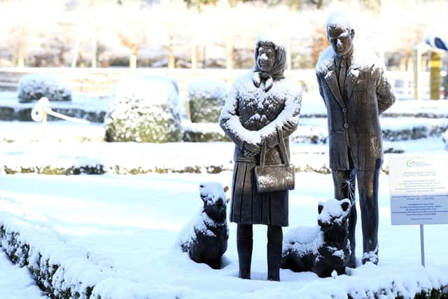
And in the late week it will be ‘milder but unsettled, with spells of rain and brisk winds as an Atlantic systems move in’.
‘The heaviest accumulations of snow have been reported over higher ground in the north and west, where several centimetres have built up. Lower levels have seen patchy coverings’.
Meanwhile the other lowest minimum temperatures recorded on January 5 were -6.6 degrees in Killylane – -6 degrees in Katesbridge, -5.9 in Altnahinch Filters and -4.4 degrees in Catlederg.
According to the long distance weather Saturday 10 Jan - Monday 19 Jan ‘a changeable period is expected, with Atlantic frontal systems occasionally affecting the UK, bringing spells of rain, probably preceded by snow in some areas, this more likely in northern and eastern parts’.
‘Some significant snowfall is possible in places, particularly on northern hills.
‘These low pressure systems could also bring some strong winds. These will be interspersed with quieter, drier interludes under transient ridges of high pressure, with the potential for frost, and wintry showers along coasts exposed to northerly winds
‘After a cold start, temperatures will tend to trend closer to average, especially in the south, such that the frequency of wintry hazards may reduce slightly.
‘However, there is a hint late in this period that it may briefly turn more widely drier and colder again’.
And the forecast for Monday 19 Jan - Monday 2 Feb is: ‘The outlook through the latter part of January and into the start of February is very uncertain, with no strong indication for any particular weather pattern to dominate
‘However, a broadly westerly regime seems more likely than not.
‘As such, conditions are most likely to be changeable.
‘Spells of wet, windy and mild weather are likely at times, along with some colder, drier interludes with overnight frost and fog.
‘There is a hint that this period may start off largely dry and cold though.
‘Snow and ice remain possible, especially in central and northern parts of the UK, but the chance of these is generally lower than earlier in January’.