
Met Office weather: Heat ‘locked in’ for Northern Ireland and rest of UK for next seven to 10 days
Warm temperatures are set to be 'locked in' for Northern Ireland and the rest of the UK for the next seven to ten days, forecasters have said.
Today saw the hottest day of the month so far for NI, when the mercury hit 28.7C in County Fermanagh.
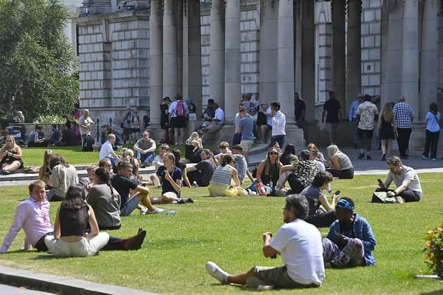

And while the weather is set to cool slightly from today (Friday) no rain is expected for around another week.
The last rain to douse Northern Ireland was two weeks ago on 4 July, the Met Office said.

Overally UK temperatures have topped 30C during the past 11 days and 2026 has become the first year on record to reach 35C in May, June and July, according to the Met Office.
Met Office Meteorologist Tom Morgan said: "Thursday has been the hottest day of the month so far, for Northern Ireland with a high of 28.7C today in Thomastown, County Fermanagh but many places saw temperatures of between 26 and 27 Celsius.
"Today marks the fifth consecutive day that Castlederg has seen a heat wave, with temperatures of 25C or higher."
He expected other areas of NI to have reached the heatwave criteria when the final data comes in for Thursday, however.
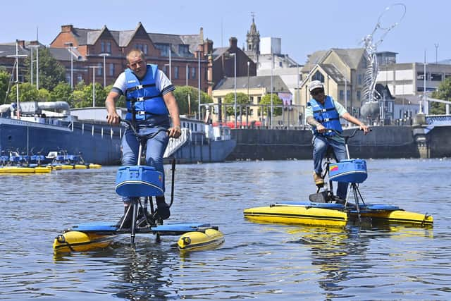
Officially a heatwave is reached when at least three days have temperatures of 25C or higher.
"Thursday has been the hottest day in Northern Ireland this month and from Friday we will see temperatures gradually decline a little bit, but nonetheless, through the weekend ahead we're going to see temperatures generally of 22-23C in the south and the high teens further north.
"So there will be pleasant weekend weather, dry and sunny, but not good news obviously for farmers and growers with no rain in the forecast. But if you're on holiday the weather will be pretty fair."
Generally speaking, the inland areas of NI see hotter temperatures while areas closer to the coast stay cooler, he said.
No rain is expected for Northern Ireland for around another week, and even then it will be quite light, he said.
The last time NI saw any rain was 4 July, he added.
The highest temperature in NI on Wednesday was in Castlederg at 27.5C.
Speaking about the UK forecast as a whole, Met Office spokesman Graham Madge said: “The settled and and fine conditions people are currently enjoying looks locked in for the next seven to 10 days and is likely to remain strongly.”
The thermometer hit 30.5C in Hurn, Dorset, on Wednesday and there is plenty of sunshine and dry weather ahead this weekend, although there may be a few isolated showers and a dip in temperatures.
It is too soon to say whether the heatwave conditions will last beyond the next 10 days and towards the end of July.
David Hayter, the Met Office’s deputy chief meteorologist, said: “Every day for the last 11 days somewhere in the UK has seen temperatures reach or exceed 30C.
“The high pressure – which has brought this prolonged fine spell – will continue for the next week or so at least, but will shift enough to enable a more northerly flow that will introduce a cooler feel that will end the run of 30C days.
“However, we are still likely to see some locations remain in heatwave conditions to finish the week.”
He said: “July and August are the main months in the UK for heatwaves.
“Having had three significant heatwaves in the UK already this year and very little rainfall for many, dry soils could provide less resistance to daytime heating, again challenging heatwave criteria into the second half of the summer.”
Whether the current heatwave continues will depend on whether there are three days of temperatures above 28C in London or 25C for the rest of the country.
It comes as Britons have so far coped with a sweltering summer of above-average temperatures and persistently warm nights.
England has been particularly warm, with mean temperatures currently 2.4C above the average 21C that could be expected.
The Met Office said Wales is sitting 2.2C above an average of around 19.3C, and while Scotland and Northern Ireland have remained closer to their seasonal norms of 17.3C and 18.6C, they are still running above average at 0.9C and 1.3C respectively.
There has been persistently warm conditions across much of the UK, particularly in England and Wales, throughout the summer so far.
Met Office science manager Amy Doherty said: “We’re only halfway through summer, yet 2026 has already delivered more days above 30C than the whole of 1976 and become the first year on record to reach 35C in May, June and July.
“What stands out most, however, is that the warmth has not been confined to the daytime, with overnight temperatures tracking at record levels for this stage of the season.
“The high humidity so far this summer has also been unusual, making conditions particularly uncomfortable.
“Taken together, these statistics make 2026 one of the most remarkable starts to a UK summer in our records.”