
Northern Ireland weather: Met Office issue Amber warning for wind as fourth storm of the season is named
An amber warning for wind has been issued for Northern Ireland with the arrival of the fourth named storm of the season.

Storm Darragh has been named and is expected to bring gusts of up to 80mph late on Friday and into Saturday.
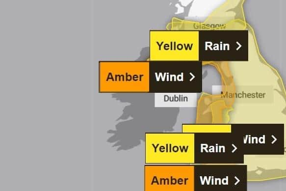
The warning for “potentially damaging” winds is in place for the west coast of the UK from South Ayrshire in Scotland down to Cornwall, as well as in Northern Ireland, and is in place on Saturday from 3am until 9pm.
Met Office press officer Nichola Maxey said: “After a dry start today, it will become cloudy with heavy showers or longer spells of rain pushing eastwards across Northern Ireland, together with strength westerly winds.
“A Yellow National Severe Weather warning is in place from 3pm today until 3am tomorrow morning.
“Tomorrow will be mainly dry and bright before rain spreads northeast during the afternoon, becoming heavy and accompanied by strong southeast winds, heralding the arrival of Storm Darragh.
"Yellow National Severe Weather warnings are in place for both wind and rain on Fri and an Amber wind warning for much of Saturday covering all of Northern Ireland.
"It will turn drier later in the day and stay mainly dry but cold and cloudy for Sunday,” she added.
The yellow warning is in place for Northern Ireland today from 3pm to 6am on Friday.
And a yellow warning for wind remains in place for Sunday across England, parts of Scotland, Northern Ireland, and Wales.
The Met Office warned that flying debris could cause injury or danger to life while buildings may be damaged, such as tiles blown from roofs.

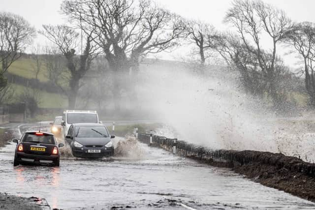
It said power cuts and large waves should be expected, and some roads and bridges may be closed, with falling trees posing an additional hazard.
Today Met Office forecasters say will have a ‘dry and bright start to the day’ but ‘’it will soon become cloudy with heavy showers or longer spells of rain spreading east’.
There will be ‘strengthening westerly winds’ and a ‘maximum temperature 11 °C’.
Tonight ‘outbreaks of heavy rain will soon clear east in the evening followed by clear spells and scattered showers’ and there will be ‘strong northwesterly winds, with coastal gales, easing overnight’.
There will be a minimum temperature 3 °C.
Tomorrow, according to the Met Office, there will be ‘a few showers near the North Coast at first, otherwise a dry and bright morning’.
However ‘rain will spread northeast during the afternoon, becoming heavy and accompanied by strong southeast winds’ and there will be a ‘maximum temperature 9 °C’.
The outlook for Saturday to Monday is, ‘wet and windy with snow on high ground Saturday, but dry later’.
The forecasters say it will be ‘mainly dry but cold and cloudy on Sunday’ with ‘dry with sunny spells and light winds on Monday’.