
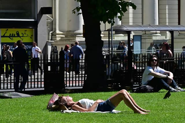
Northern Ireland Weather: Typical exam weather persists as temperatures to remain above 20C the rest of the week😎
‘High pressure remains in charge of our weather across the UK,’ says Oli Claydon from the Met Office with ‘the outlook for Northern Ireland to remain consistently dry and fine’.

Mr Claydon added there will be ‘some high level cloud at times’.
He added: ‘Temperatures will remain at around 20C through the rest of this week, perhaps reaching 21C on Saturday.
‘It has been notably dry and sunny so far this Spring with a blocking high delivering this continued warm, sunny and dry weather,’ he added.
The Met Office in Northern Ireland said today would be ‘another fine, dry day for all with good periods of sunshine developing and lifting the afternoon temperatures to seasonally warm levels, particularly for well inland areas’.
It adds there will be ‘light to moderate northeast breezes’ and a ‘maximum temperature 21 °C’.
Meanwhile tonight will be ‘dry with good late sunshine then clear spells’.

‘This combined with light winds will allow temperatures to fall away quickly, bringing a chilly start for some rural areas come dawn,’ add the Met Office.
There will be a minimum temperature 2 °C.
Meanwhile, tomorrow (Thursday) it will remain ‘dry throughout’ with ‘all enjoying prolonged sunshine with inland western areas seeing seasonally very warm highs’.
Tomorrow there will be ‘a maximum temperature of 22 °C’.

And the outlook for Friday to Sunday is ‘dry with good periods of sunshine’ and ‘light mainly northeast breezes’.
Meanwhile temperatures are being forecast as ‘seasonally mild to very mild’.
And looking at the long-range forecast Sunday 18 May - Tuesday 27 May it will be that ‘mostly dry and largely sunny conditions are expected to continue for the vast majority over the next several days as a slow-moving area of high pressure remains dominant.
‘It will continue to be warm or very warm for many, especially in the west, but it will be remain cooler in the east, especially along coasts, with some coastal areas seeing persistent low cloud at times, accompanied by a brisk breeze off the North Sea.
‘There is an increasing chance that conditions will turn more unsettled from late next week though, as areas of rain and strengthening winds threaten from the west and/or south (the latter bringing a risk of thunderstorms).
‘This would most likely to be accompanied by temperatures dropping nearer to average for the time of year’.
And looking even further ahead – Wednesday 28 May - Wednesday 11 Jun – ‘The start of the period may see some more in the way of rain and showers across much of the UK, especially western parts.
‘Fine and dry weather is more likely to prevail towards the south and east though and may start to develop more widely, but occasional spells of rain and showers are still possible, with the potential for thunderstorms on some days.
‘Overall, temperatures will most likely be around or above normal for the time of year.’