
Northern Ireland to bask in at least 24 °C today - rising to 28 °C tomorrow, but how long will it last?
As the weather is normally the top line of conversation in Northern Ireland for all the wrong reasons, we have very little to complain about now.

Temperatures today are expected to be around 24 °C, although according to Meteorologist Claire Nasir, it comes after it was ‘very warm overnight and uncomfortable for some’.


According to UK Daily Extreme the hottest area in Northern Ireland yesterday was Derrylin at 21.2 °C.
Today she also warns of ‘high UV levels and higher levels of pollen’ today for those who suffer with allergies.
Meanwhile, according to the Met Office Northern Ireland today will be ‘dry with long sunny spells and feeling very warm’.
It adds that ‘cloud may increase at times in the afternoon’ and it ‘decomes very warm’ with a mMaximum temperature 24 °C.
Tonight will be a ‘will be a very mild’ with a minimum temperature 15 °C.
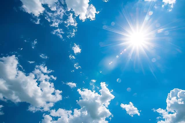
And tomorrow, will also be ‘a dry day with long bright or sunny spells and becoming very warm or hot’.
The Met Office say it will be ‘fresher along the east coast with an onshore breeze.’ and a ‘maximum temperature 28 °C’.
Meanwhile the outlook for the weekend is ‘largely dry and bright with the odd shower on Saturday and remaining very warm’.
However it will ‘turn cooler during Sunday and Monday with sunshine and showers, heavy on Sunday’.

Met Office spokesman Stephen Dixon adds: ‘Later on Saturday Northern Ireland will see the start of a transition to more unsettled weather.
‘Thundery rain, with associated hail, is possible late on Saturday and into Sunday, which could require warnings as details on the forecast become clearer.’
‘Sunday will be a cooler day, with temperatures reduced from recent days and rain arriving from the west and moving eastwards, as the UK transitions back to more of a westerly weather regime.
‘Pollen levels will be very high or high over the next couple of days, with grass pollen a particular focus.
‘The levels in the air will reduce as rain and thunder arrives late on Saturday and into Sunday’.
Looking further ahead the forecast for Monday 23 Jun - Wednesday 2 Jul is: ‘After a very warm or hot weekend in many parts of the UK, temperatures are likely to lower somewhat into next week, but still remaining above average across parts of the east and southeast.
‘It will be rather changeable with some occasional rain or showers, most frequently in northwestern areas where it may be rather breezy or windy at times.
‘Longer drier spells are more likely farther to the south and east, under the influence of higher pressure.
‘Here, there is the chance of occasional very warm or hot spells, as south or southwesterly winds allow brief bursts of hotter air to encroach from the continent, but perhaps also accompanied by a few thunderstorms at times’.
And even further ahead – from Thursday 3 Jul - Thursday 17 Jul – the Met Office say: ‘Rather changeable conditions are anticipated through the first half of July, the wettest and windiest conditions most likely towards the northwest with a risk of some heavy rain at times, especially over hills.
‘Southern and eastern areas are most favoured for longer drier and more settled spells, although even here some occasional rain or showers will be possible, perhaps thundery.
‘Temperatures are expected to be above average for most areas, especially towards the southeast where there will be an ongoing chance of some very warm or hot conditions at times’.